Windsor_Castle_Upper_Ward_Quadrangle_Corrected_2-_Nov_2006.jpg
Size of this preview:
800 × 340 pixels
.
Other resolutions:
320 × 136 pixels
|
640 × 272 pixels
|
1,024 × 435 pixels
|
1,280 × 544 pixels
|
4,626 × 1,966 pixels
.
|
Summary
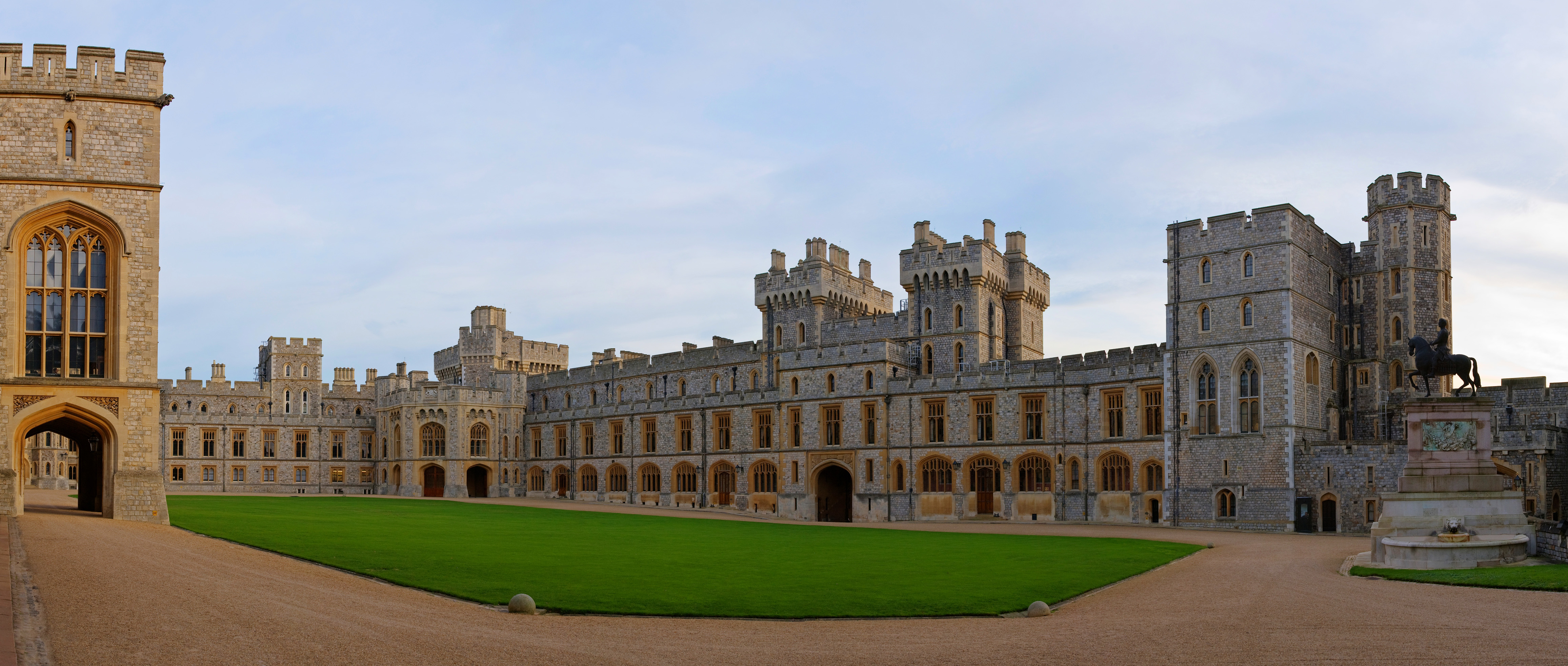
| Description | Windsor Castle Upper Ward Quadrangle. Taken by myself with a Canon 5D and 24-105mm f/4L IS lens. This is a six segment panorama stitched with PTGui. |
| Date | |
| Source | Own work |
| Author | Diliff |
|
Permission
( Reusing this file ) |
Summary:
|
| Other versions |
 Version with warmer colour cast
|
| Camera location |
|
View this and other nearby images on: OpenStreetMap |
|
|---|
Licensing
I, the copyright holder of this work, hereby publish it under the following licenses:

|
Permission is granted to copy, distribute and/or modify this document under the terms of the GNU Free Documentation License , Version 1.2 or any later version published by the Free Software Foundation ; with no Invariant Sections, no Front-Cover Texts, and no Back-Cover Texts. A copy of the license is included in the section entitled GNU Free Documentation License . |
|
|
This file is licensed under the Creative Commons Attribution-Share Alike 3.0 Unported license. | |
|
||
| This licensing tag was added to this file as part of the GFDL licensing update . |
This file is licensed under the
Creative Commons
Attribution 2.5 Generic
license.
-
You are free:
- to share – to copy, distribute and transmit the work
- to remix – to adapt the work
-
Under the following conditions:
- attribution – You must give appropriate credit, provide a link to the license, and indicate if changes were made. You may do so in any reasonable manner, but not in any way that suggests the licensor endorses you or your use.
You may select the license of your choice.
|
|
This image has been assessed using the
Quality image guidelines
and is considered a
Quality image
.
|