Zbriskie_Point_South_Panorama_2012.jpg

Size of this preview:
800 × 192 pixels
.
Other resolutions:
320 × 77 pixels
|
640 × 154 pixels
|
1,024 × 246 pixels
|
1,280 × 307 pixels
|
2,560 × 614 pixels
|
18,510 × 4,442 pixels
.
| Warning | The original file is very high-resolution. It might not load properly or could cause your browser to freeze when opened at full size. |
|---|
Summary
| Description |
English:
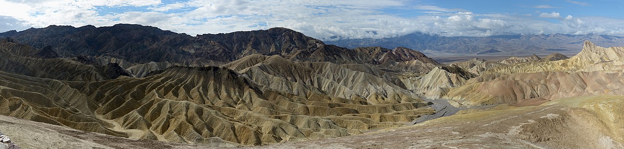
Zabriskie Point in Death Valley California.
Deutsch:
Zabriskie Point im Death Valley Kalifornien
|
||||||
| Date | |||||||
| Source | Own work | ||||||
| Author |
|
||||||
| Other versions |

|

|
| Object location |
|
View this and other nearby images on: OpenStreetMap |
|
|---|

|
NOTE:
This image is a panorama consisting of multiple frames that were merged or stitched in software. As a result, this image necessarily underwent some form of digital manipulation. These manipulations may include blending, blurring, cloning, and colour and perspective adjustments. As a result of these adjustments, the image content may be slightly different from reality at the points where multiple images were combined. This manipulation is often required due to lens, perspective, and parallax distortions.
|
Licensing
I, the copyright holder of this work, hereby publish it under the following license:
This file is licensed under the
Creative Commons
Attribution-Share Alike 3.0 Unported
license.
-
You are free:
- to share – to copy, distribute and transmit the work
- to remix – to adapt the work
-
Under the following conditions:
- attribution – You must give appropriate credit, provide a link to the license, and indicate if changes were made. You may do so in any reasonable manner, but not in any way that suggests the licensor endorses you or your use.
- share alike – If you remix, transform, or build upon the material, you must distribute your contributions under the same or compatible license as the original.
|
|
This image has been assessed using the
Quality image guidelines
and is considered a
Quality image
.
|

|
This image has been assessed under the valued image criteria and is considered the most valued image on Commons within the scope: Panorama from Zabriskie Point towards South West . You can see its nomination here . |