Mughalzhar_Hills

Mugalzhar

Mugalzhar

Mountain range in northwestern Kazakhstan


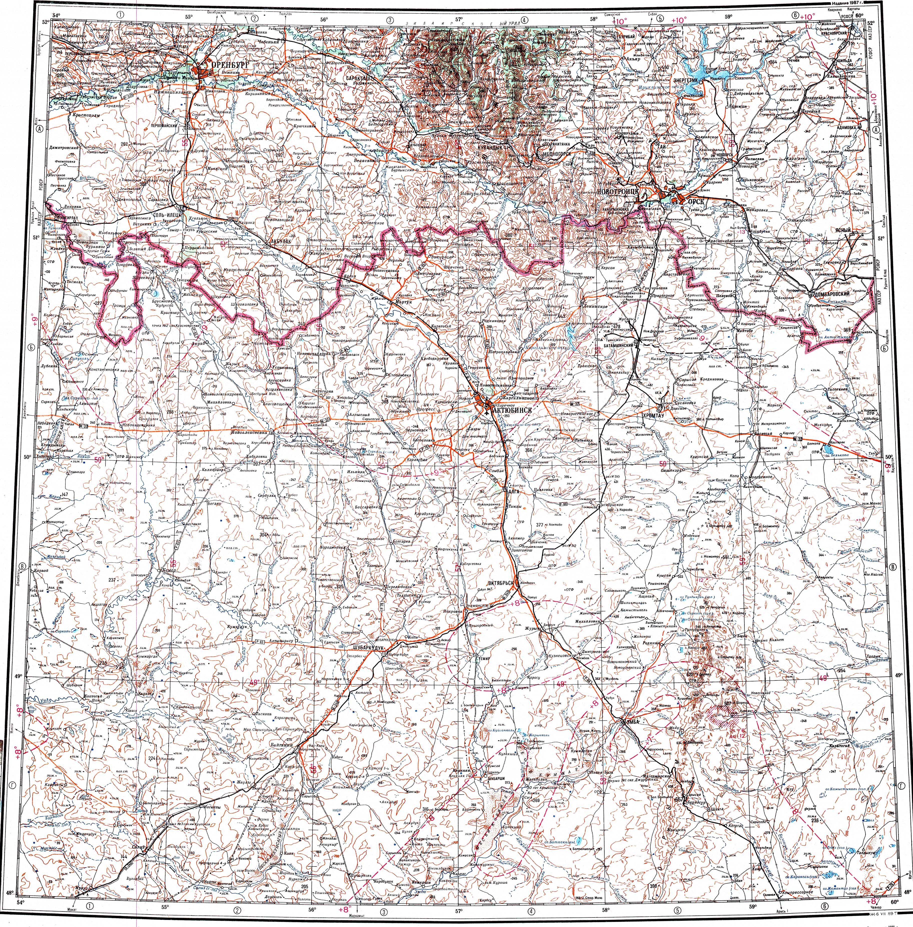
Mugalzhar (Kazakh: Мұғалжар), also known as Mugodzhar Hills or Mugodzhar Range (Russian: Мугоджары, Мугоджарский хребет),[1] is a series of mountain ranges 275 miles (440 km) long in the Aktobe Region of northwestern Kazakhstan.

Quick Facts Highest point, Elevation ...

Geography

They are considered to be a continuation of the Ural Mountains and connected with Southern Ural by Guberlin Mountains. They form the divide between the Caspian Sea and Aral Sea basins.

The Mugalzhar proper are of length about 200 km with width up to 30 km. They start at the Or River (река Орь) as a narrow range that further splits in two: Eastern Mugalzhar and Western Mugalzhar. The highest place (657 metres) is in the Eastern Mugalzhar, Mount Boktybay [ru] (Boqtybay, Боктыбай). Some of the rivers that have their sources in the Mugalzhar are Or, Emba, Irgiz, Zhylandysay, Bolgasyn and Kauylzhyr.[2][3][4]

In a wider sense, Mughodzhary also include a number of other highlands and hillocks, in particular, Ural-Tobolsk Plateau, and the Northern Mughodzhary, which actually connect with Guberlin hills.


References

  1. "M-40 Topographic Chart (in Russian)". Retrieved 9 January 2024.
  2. "L-40 Topographic Chart (in Russian)". Retrieved 9 January 2024.

Share this article:

This article uses material from the Wikipedia article Mughalzhar_Hills, and is written by contributors. Text is available under a CC BY-SA 4.0 International License; additional terms may apply. Images, videos and audio are available under their respective licenses.