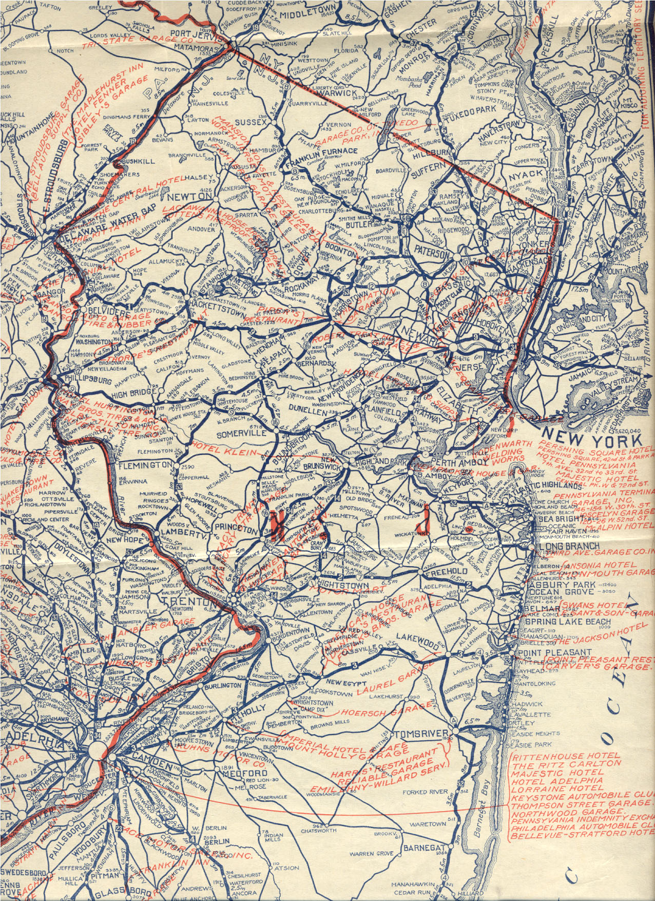
The route was designated in 1916 as part of pre-1927 Route10, which was to run from Paterson east to the terminal of the Fort Lee Ferry in Edgewater, using the Paterson and Hackensack Turnpike between Paterson and Hackensack, the Bergen Turnpike from Hackensack to Ridgefield, and a new alignment between Ridgefield and Edgewater. In 1927, the route was renumbered to Route5, with initial plans to build a new alignment for the route between Ridgefield and Little Ferry. Route5 was also planned to run concurrent with Route6 (now US46) between Paterson and Ridgefield. However, the plans were modified in 1929 to build Route6 on a new alignment and have Route5 end at Route1 (now US1/9) in Ridgefield. The former alignment was designated as Route10N with maintenance eventually turned over to the county. The eastern terminus of Route5 was moved to its current location by the 2000s. In 2007, construction began to improve the route in Palisades Park by replacing bridges and widening the road, with work completed in late 2009.
Route description
Route5 east at the intersersection with US Route1/9 in Ridgefield
Route5 begins at an intersection with US1-9 (North Broad Avenue) in Ridgefield, heading east as a two-lane undivided road through residential areas.[1][2] It crosses CR31 (Maple Avenue) and enters Palisades Park.[1] In Palisades Park, the road passes over Delia Avenue and turns south as it heads through wooded residential neighborhoods. Route 5 passes under Route63 and enters Fort Lee, where the route immediately intersects Bergen Boulevard, which provides access to Route63. From there, the road heads east through wooded neighborhoods before turning north onto Glen Road.
View west along Route5 (Palisade Avenue) at Bluff Road in Fort Lee
Route 5 comes to an intersection with County Route29 (Anderson Avenue) and County Route54 (Central Boulevard), where the route continues east on Central Boulevard as a four-lane undivided road through inhabited areas.[1][2] It meets the southern terminus of Route67 (Palisade Avenue) and continues south along that road. After 0.36mi (0.58km) of following Palisade Avenue, Route5 makes a left turn onto a two-lane road, with County Route27 continuing south on Palisade Avenue.[1] The route descends the New Jersey Palisades on a winding road with hairpin turns, crossing into Edgewater. In Edgewater, the road briefly heads through commercial areas before ending at CR505 (River Road) along the Hudson River.[1][2]
History
Route 5 eastbound past Route 63 in Fort Lee
Pre-1927 Route10 was legislated in 1916 to run from Paterson east by way of Hackensack and Ridgefield to the Public Service Railway's Fort Lee Ferry at Edgewater. From Paterson it used the existing Paterson and Hackensack Turnpike (Market Street and Essex Street, legislated in 1815) to Hackensack and the Bergen Turnpike (Hudson Street) to Ridgefield.[3] Rather than use existing roads from Ridgefield down the Palisades to Edgewater, a whole new route was surveyed with better grades. This road was built by 1922. At its east end, Route 10 ran south several blocks on River Road to the ferry, just south of Dempsey Avenue. In Ridgefield, Broad Avenue was used to get between the new alignment and Bergen Turnpike.[4]
In the 1927 New Jersey state highway renumbering, Route10 was renumbered to Route5. Plans at the time were to build a new alignment from east of Ridgefield to Little Ferry southeast of Hackensack and form RouteS5 (now locally maintained) along the old road from Little Ferry to Ridgefield. The new Route6 would share the alignment of Route5 from Paterson to west of Hackensack, where it would turn southeast onto a new alignment to Little Ferry, then run with Route 5 again to east of Ridgefield and split onto its own alignment to the George Washington Bridge.[5][6]
Route 10N
In 1929, the routes were redefined. Route6 would be a completely new alignment from Paterson to the George Washington Bridge, and Route5 would only run east from Route1 (Broad Avenue, now US1/9) in Ridgefield.[7] The alignment of Route10 west of Ridgefield was designated Route10N until it was eventually turned over to the county.[8] Route 5 retained its routing in the 1953 New Jersey state highway renumbering.[9] By the 2000s, the section of Route5 along River Road to the former ferry was removed.[10] In June 2007, construction began on a $24.6 million project to improve the route through Palisades Park. This project, which was completed in late 2009, involved the replacement of the bridge over Delia Boulevard, the removal of a bridge over an abandoned rail line, and the widening of the two-lane road to include a shoulder.[11]
This article uses material from the Wikipedia article New_Jersey_Route_10N, and is written by contributors.
Text is available under a CC BY-SA 4.0 International License; additional terms may apply. Images, videos and audio are available under their respective licenses.
_at_Bluff_Road_in_Fort_Lee,_Bergen_County,_New_Jersey.jpg)
_in_Fort_Lee,_Bergen_County,_New_Jersey.jpg)
.svg)