State_Highway_39_(New_Zealand)
State Highway 39 (New Zealand)
Road in New Zealand
State Highway 39 (SH 39) is a New Zealand state highway that forms a western bypass of the city of Hamilton. Gazetted in 1999,[1] it is a generally quicker route to get between Auckland and New Plymouth as well as connecting to the Waitomo Caves, just south of the SH 39 southern terminus. The southernmost 14 km section has a concurrency with SH 31, as this highway has existed for much longer (SH 31 continues west to Kawhia).
| State Highway 39 | ||||
|---|---|---|---|---|
| Route information | ||||
| Maintained by NZ Transport Agency | ||||
| Length | 65.5 km (40.7 mi) | |||
| Major junctions | ||||
| North end | ||||
| Major intersections |
| |||
| South end | ||||
| Location | ||||
| Country | New Zealand | |||
| Primary destinations | Te Kowhai, Whatawhata, Pirongia | |||
| Highway system | ||||
| ||||
SH 39 begins at SH 1C on the Te Rapa section of the Waikato Expressway at Koura Drive, just north of the city of Hamilton. It veers south briefly before reaching a roundabout junction where it follows Te Kowhai Road westbound, eventually changing to Limmer Road. At the intersection of Horotiu Road SH 39 veers south (the northbound road formed the previous SH 39 route) until the intersection with SH 23 at Whatawhata. It shares a brief concurrency, turning left into SH 23, then immediately right back onto SH 39 southbound. Following Kakaramea Road, the highway passed through Ngāhinapōuri then the township of Pirongia. After Pironga the state highway intersects SH 31 to Kawhia. For the final 14 km the road is jointly designated SH 31 and SH 39 before terminating in the town of Ōtorohanga with SH 3.[2][unreliable source?][when?]
SH 39 is classified as an 'arterial' highway under the One Network Road Classification.[3]
The traffic flow records indicate that through traffic forms about half the flow, with traffic from Hamilton via SH 23 adding to the flow through Whatawhata and via Temple View and Tuhikaramea Rd adding to the flow through Ngāhinapōuri and from Kawhia adding a little to the flow at the southern end of SH 39.[4]
| Location | 2011 | 2012 | 2013 | 2014 | 2015 | % Heavy vehicles |
|---|---|---|---|---|---|---|
| east of Te Kowhai | 1572 | 3243 | 3761 | 13 | ||
| north of Whatawhata | 5062 | 15 | ||||
| north of Tuhikaramea Rd | 3133 | 3152 | 3020 | 2918 | 3230 | 19 |
| Ngāhinapōuri | 5503 | 5413 | 5430 | 5500 | 5666 | 15 |
| Puketotara | 3166 | 3202 | 3243 | 3269 | 3545 | 17 |
| before SH 31 Intersection | 2456 | 2503 | 2666 | 2589 | 2801 | 20 |
| after SH 31 Intersection | 2576 | 2714 | 2755 | 2781 | 2929 | 20 |
| Territorial authority | Location | km | mi | Destinations | Notes |
|---|---|---|---|---|---|
| Waikato District | Burbush | 0 | 0.0 | SH 39 begins | |
| Whatawhata | Staggered T-junction | ||||
| Staggered T-junction | |||||
| Waipa District | Tihiroa | SH 39/SH 31 concurrency begins | |||
| Ōtorohanga District | Ōtorohanga | SH 39/SH 31 concurrency ends | |||
| |||||
SH 39's northern terminus has changed. In 2013 after the completion of the Waikato Expressway, Ngāruawāhia Section, SH 1 used to travel through Ngāruawāhia and Te Kowhai further north than currently.[5] After the expressway was completed, the Waikato Expressway become the new SH 1. As the expressway is a faster route, SH 39 was diverted away from Ngāruawāhia to its current terminus at Te Rapa. The current route was temporarily designated SH 39A[6] whilst it was being upgraded to highway status and in June 2014 this section become SH 39 and the old section revoked.[7][8] In July 2022, upon opening of the Hamilton section of the Waikato Expressway, SH 1 moved from its location via Mangaharakeke Drive onto the expressway. The old designation of SH 1 through Hamilton was renumbered SH 1C.[9]
In 1936/7 the road was declared a main highway under the Main Highways Act 1922 from Horotiu/Ngāruawāhia to Te Rore via Whatawhata and improvements made.[10] At that time, AADT south of Whatawhata was 102.[11] About 1970 SH39 was straightened and widened.[12]
Floods
The road runs close to the Waipā River for most of its length. Until the 1930s improvements, floods closed the road in 1904,[13] 1907[14] and 1926.[15]
Buses
The only bus now using SH 39 is a very short section of the Raglan-Hamilton route.[16] A bus route linked Pirongia, Whatawhata and Hamilton from 1926.[17] In 1932 Lewis Hodgson took over[18] and it was still running in 1942.[19]
- "Declaring New Sections of State Highway: State Highway No. 1B and State Highway No. 39". NZ Gazette. 16 December 1999. Retrieved 7 July 2016.
- "One Network Road Classification: North Island State Highways" (PDF). New Zealand Transport Agency. Archived from the original (PDF) on 9 February 2016. Retrieved 5 July 2016.
- "State Highway AADT booklet 2011–2015" (PDF). NZ Transport Agency. Retrieved 5 July 2016.
- "Notice No. 1999-au9428 – New Zealand Gazette". gazette.govt.nz. Retrieved 17 June 2017.
- "Declaring a Section of State Highway-State Highway 39A, Koura Drive/Te Kowhai Road/Limmer Road, Hamilton City and Waikato District". NZ Gazette. 31 January 2013. Retrieved 23 June 2016.
- "Revoking Sections of State Highway and Declaring a Section of State Highway-State Highway 1N and State Highway 39, Waikato". NZ Gazette. 19 June 2014. Retrieved 23 June 2016.
- "Upgrade work to begin on SH39A , Te Kowhai and Limmer Roads". NZ Transport Agency. 4 November 2013. Retrieved 23 June 2016.
- "Hamilton section of Waikato Expressway open to traffic". NZ Transport Agency. 14 July 2022. Retrieved 15 July 2022.
- "Parliamentary Papers | Appendix to the Journals of the House of Representatives | 1937 Session I PUBLIC WORKS STATEMENT (BY THE HON. R. SEMPLE, MINISTER OF PUBLIC WORKS". paperspast.natlib.govt.nz National Library of New Zealand. Retrieved 16 June 2017.
- "Parliamentary Papers | Appendix to the Journals of the House of Representatives – Public Works Statement (By The Hon. R. Semple, Minister of Public Works) 1938". paperspast.natlib.govt.nz National Library of New Zealand. Retrieved 4 July 2017.
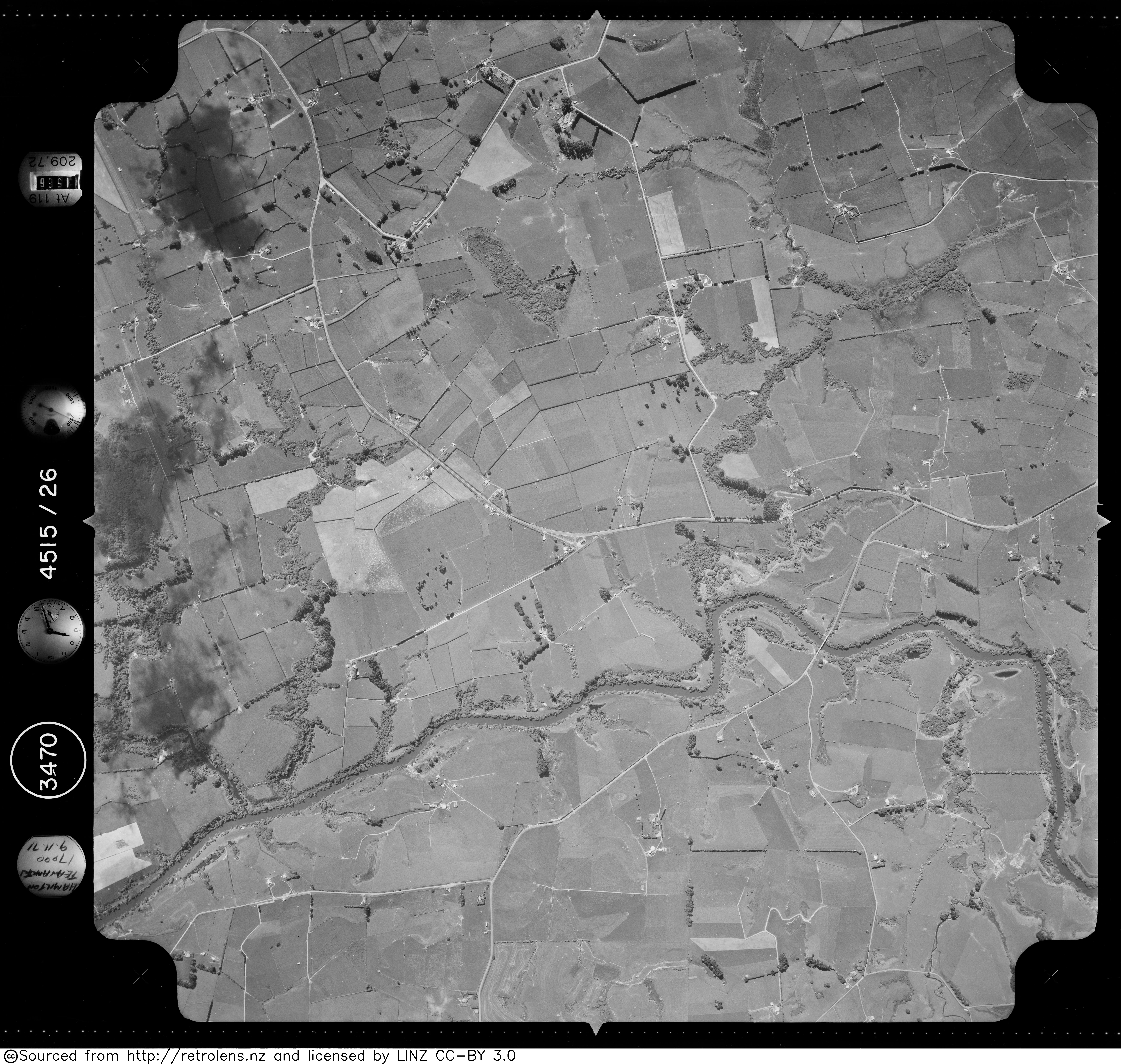
- "Survey Number: SN3470 Run Number: 4515 Photo Number: 26". Retrolens. 9 November 1971.
- "WAIPA COUNTY COUNCIL. (Waikato Times, 1904-06-15)". paperspast.natlib.govt.nz National Library of New Zealand. Retrieved 17 June 2017.
- "THE FLOOD. (Waikato Argus, 1907-01-16)". paperspast.natlib.govt.nz National Library of New Zealand. Retrieved 17 June 2017.
- "The main road between Whatawhata and Pirongia (Auckland Star, 1926-05-31)". paperspast.natlib.govt.nz National Library of New Zealand. Retrieved 17 June 2017.
- "Raglan 23". busit.co.nz. Retrieved 17 June 2017.
- "WAIKATO TIMES". paperspast.natlib.govt.nz. 6 November 1926. Retrieved 17 June 2021.
- "TRANSPORT SERVICES (New Zealand Herald, 1932-08-11)". paperspast.natlib.govt.nz National Library of New Zealand. Retrieved 17 June 2017.
- "WAIKATO TIMES". paperspast.natlib.govt.nz. 28 February 1942. Retrieved 17 June 2021.