Takht-e_Suleyman_Massif

Takht-e Suleyman Massif

Takht-e Suleyman Massif

Add article description


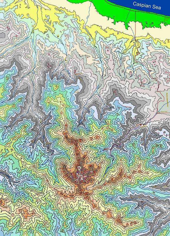
Takht-e Soleyman Massif (Persian: گرانکوه تخت سليمان) is a subrange of central Alborz mountains, in northern Iran.[1] In the area, about 160 distinct peaks higher than 4,000m are distinguishable, with the highest: Alam Kuh, 4,850m. The area can be captured inside a rectangle of 30 km width and 40 km length. The massif is limited to Taleqan valley from south, Kelardasht green plane from east, Abbas Abad rain forest & thick vegetated hills/slopes at north, and Shahsavar rain forests and Se Hezar valley at west.

Takht-e Soleyman Alam kuh

Discovery

The original and pre Islamic name is Takht-e-Jamshid - The Takht-e-Soleiman region was virtually unknown until the 1930s. Freya Stark travelled there in 1931 and described her thwarted efforts to climb Takht-e Suleyman in The Valleys of the Assassins.[2] Douglas Busk, a British mountaineer, explored the area in 1932,[3] and made the first recorded ascent of Alam Kuh in 1933 via the east ridge.[4] Later on, Busk along with Professor Bobek made a detailed survey of this area.


References

  1. Map of the region summitpost.org Retrieved 19 May 2023
  2. Freya Stark, The Valleys of the Assassins and Other Persian Travels (London, 1934)
  3. D. L. Busk, Climbing and ski-ing in the Elburz Range, North Persia, 1931-2: The Alpine Journal, v. 45, p. 334-341 (1933).
  4. D. L. Busk, Climbing in the Takht-i-Suleiman Group, N. Persia: The Alpine Journal, v. 47, p. 299-309 (1935).

Share this article:

This article uses material from the Wikipedia article Takht-e_Suleyman_Massif, and is written by contributors. Text is available under a CC BY-SA 4.0 International License; additional terms may apply. Images, videos and audio are available under their respective licenses.