A_sunrise_over_Vaigai_River_in_Madurai_Tamil_Nadu_India.jpg
Size of this preview:
800 × 533 pixels
.
Other resolutions:
320 × 213 pixels
|
640 × 427 pixels
|
1,024 × 683 pixels
|
1,280 × 853 pixels
|
2,560 × 1,707 pixels
|
4,272 × 2,848 pixels
.
| Description |
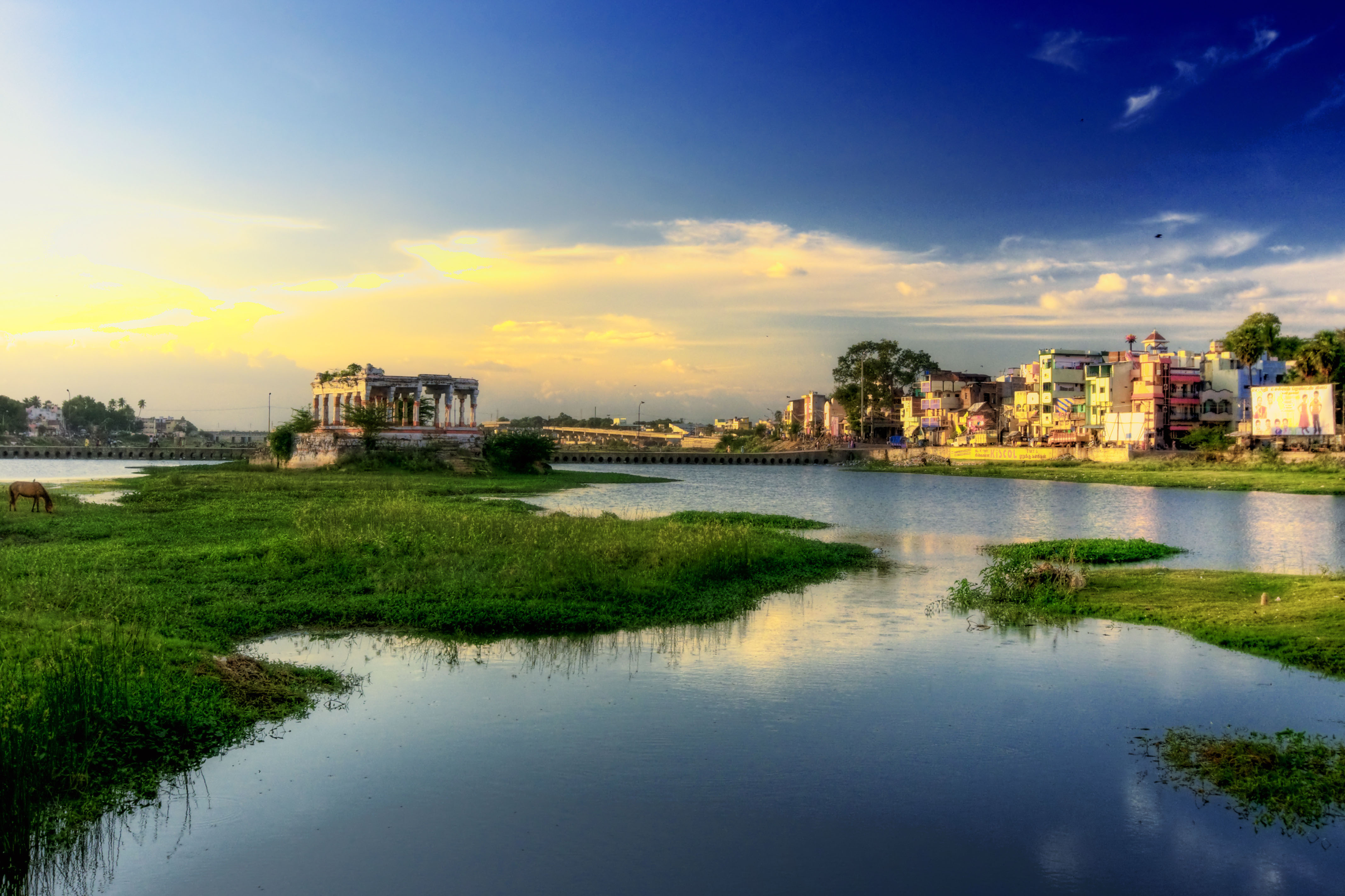
Vaigai is a river in Madurai, Tamil Nadu state of southern India. It originates in the Periyar Plateau of the Western Ghats range, and flows northeast through the Kambam Valley, which lies between the Palni Hills to the north and the Varushanad Hills to the south. The Vattaparai Falls are located on this river. As it rounds the eastern corner of the Varushanad Hills, the river turns southeast, running through the region of Pandya Nadu. Madurai, the largest city in the Pandya Nadu region and its ancient capital, lies on the Vaigai. The river empties into the Palk Strait in Ramanathapuram District. The Vaigai is 258 kilometres (160 mi) long, with a drainage basin 7,031 square kilometres (2,715 sq mi) large. |
||
| Date | |||
| Source | Flickr : Vaigai River @ Madurai | ||
| Author | Paulthy | ||
|
Permission
( Reusing this file ) |
This file is licensed under the
Creative Commons
Attribution 2.0 Generic
license.
|