Australia_New_Guinea_continent.jpg

Size of this preview:
575 × 600 pixels
.
Other resolutions:
230 × 240 pixels
|
460 × 480 pixels
|
647 × 675 pixels
.
Summary
| Description |
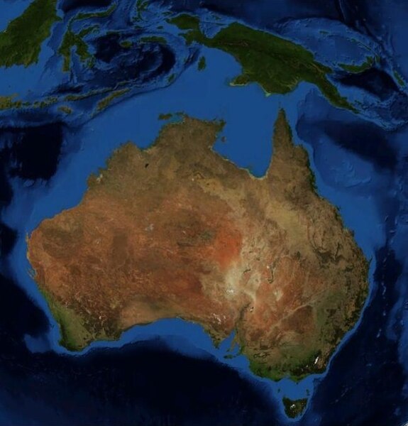
English:
This is an image of Australia & New Guinea from space, made with NASA's World Wind software using Landsat 7 data.
|
| Date | |
| Source | Own work |
| Author | I created this, based on NASA's World Wind software |
Licensing
|
|
This image is in the
public domain
because it is a screenshot from
NASA
’s globe software
World Wind
using a public domain layer, such as Blue Marble, MODIS, Landsat, SRTM, USGS or GLOBE.
|

|