BorahPeakID.jpg
Size of this preview:
800 × 441 pixels
.
Other resolutions:
320 × 176 pixels
|
640 × 353 pixels
.
Summary
| Description |
English:
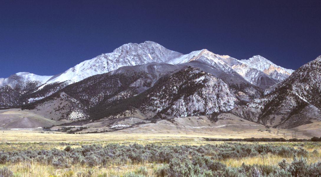
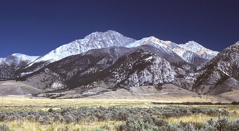
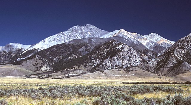
Borah Peak, Idaho, looking east. The normal climbing route begins in the wooded canyon at center left. The white line running along the base of the peak is the fault trace from the 1983 earthquake.
|
| Date | 6 May 2006 (original upload date) |
| Source | Transferred from en.wikipedia to Commons by RedWolf using CommonsHelper . |
| Author | G. Thomas at English Wikipedia |
Licensing
|
|
This work has been released into the
public domain
by its author,
G. Thomas
at
English Wikipedia
. This applies worldwide.
In some countries this may not be legally possible; if so: G. Thomas grants anyone the right to use this work for any purpose , without any conditions, unless such conditions are required by law. |
Original upload log
The original description page was
here
. All following user names refer to en.wikipedia.
- 2006-05-06 20:17 G. Thomas 1089×600× (127941 bytes) Borah Peak, Idaho, looking east. The normal climbing route begins in the wooded canyon at center left. The white line running along the base of the peak is the fault trace from the 1983 earthquake.