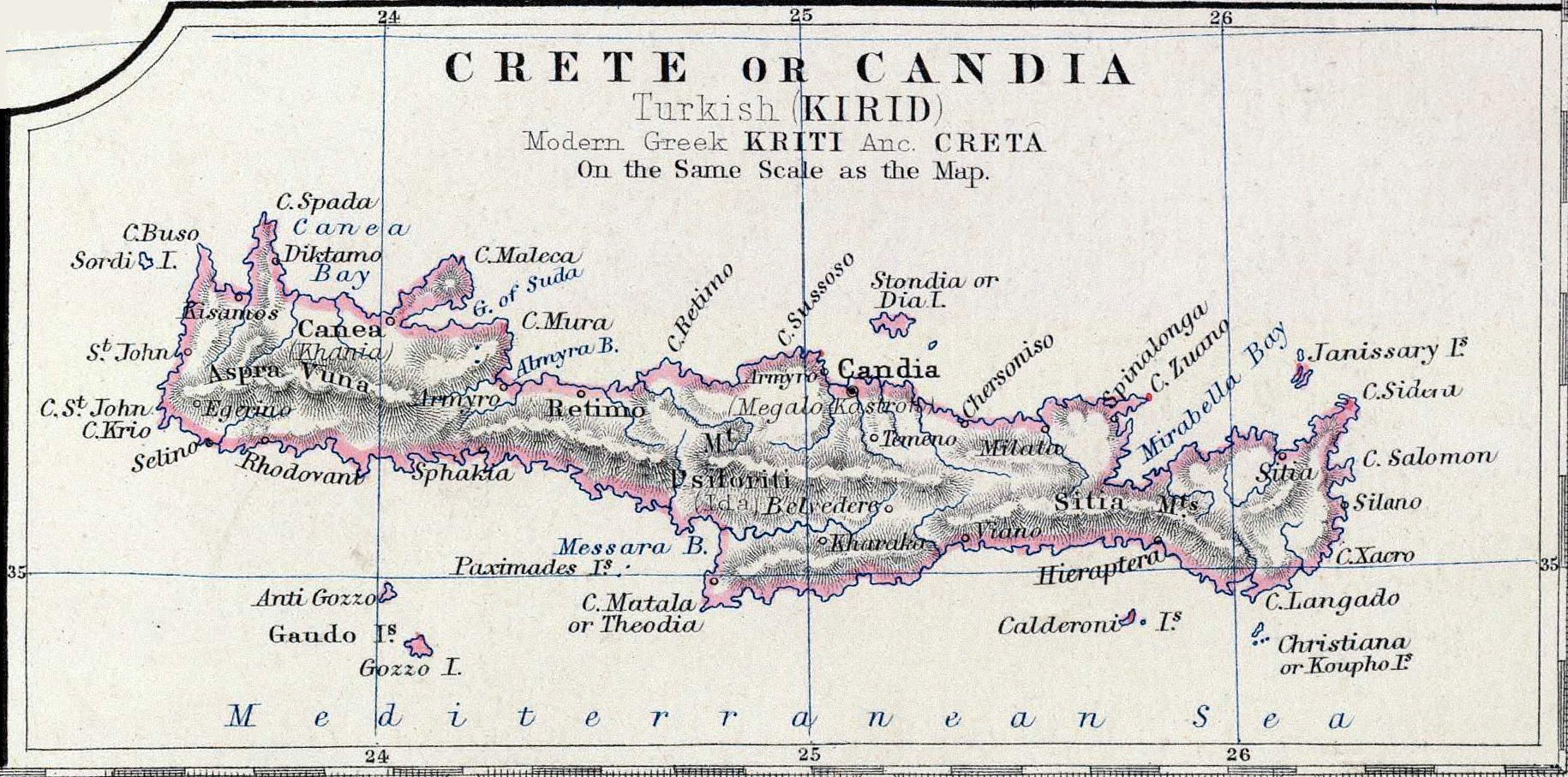
Crete-Johnston-1861.png
Size of this preview:
800 × 397 pixels
.
Other resolutions:
320 × 159 pixels
|
640 × 317 pixels
|
1,024 × 508 pixels
|
1,830 × 907 pixels
.
Summary
| Description | Map Crete or Candia part of map Turkey in Europe | |||||||||||||||||||
| Date | ||||||||||||||||||||
| Source | Keith Johnston's General Atlas, p. 22, published by William Blackwood & Sons, Edinburgh & London | |||||||||||||||||||
| Author |
|
|||||||||||||||||||
|
Permission
( Reusing this file ) |
Public Domain | |||||||||||||||||||
Licensing
|
|
This work is in the public domain in its country of origin and other countries and areas where the copyright term is the author's life plus 100 years or fewer . |
| This file has been identified as being free of known restrictions under copyright law, including all related and neighboring rights. | |