Hadrian's_Wall_west_of_Housesteads_3.jpg

Size of this preview:
800 × 532 pixels
.
Other resolutions:
320 × 213 pixels
|
640 × 426 pixels
|
1,024 × 681 pixels
|
1,280 × 851 pixels
|
3,008 × 2,000 pixels
.
Summary
| Description |
English:
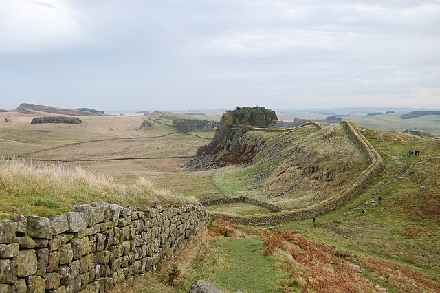
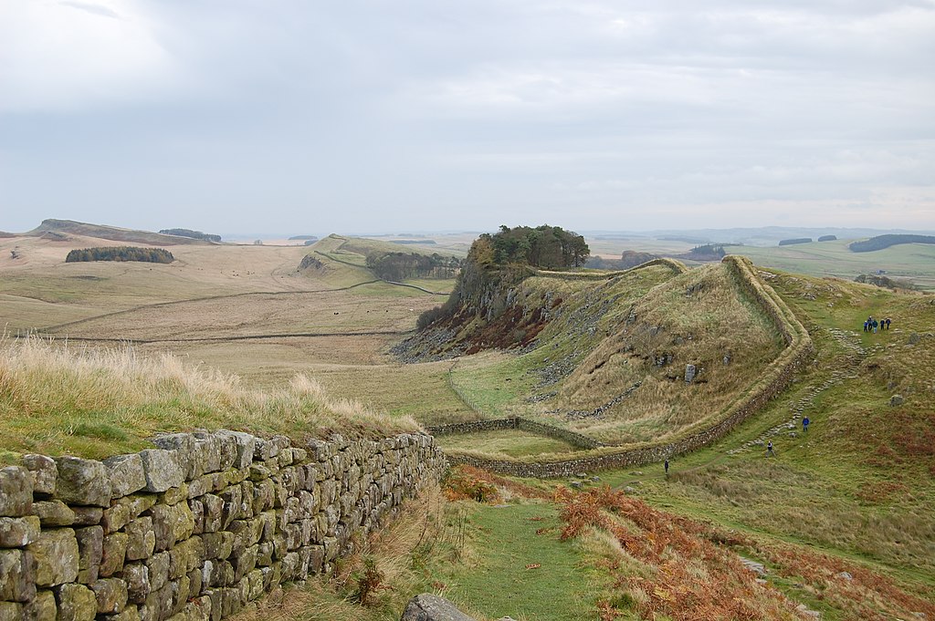
A stretch of Hadrian's Wall about 1 mile west of the Roman Fort near Housesteads.
Français :
Une portion du
mur d'Hadrien
à 1,6 km environ du fort romain de Housesteads.
Deutsch:
Der Hadrianswall westlich des Meilenkastells 37, das sich zwischen der kleinen, nicht sichtbaren Senke in der rechten Bildhälfte befindet. 1,6 km östlich liegt Kastell Housesteads, ebenfalls direkt an den Grenzanlagen errichtet.
|
| Date | |
| Source | Own work |
| Author | Steven Fruitsmaak |
| Other versions |
| Camera location |
|
View this and other nearby images on: OpenStreetMap |
|
|---|
Licensing
|
|
I, the copyright holder of this work, release this work into the
public domain
. This applies worldwide.
In some countries this may not be legally possible; if so: I grant anyone the right to use this work for any purpose , without any conditions, unless such conditions are required by law. |
|
|
This image has been assessed using the
Quality image guidelines
and is considered a
Quality image
.
|