Halley_compass_variations_1702.jpg
Size of this preview:
481 × 599 pixels
.
Other resolutions:
193 × 240 pixels
|
385 × 480 pixels
|
642 × 800 pixels
.
Summary
| Description |
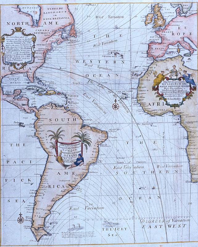
Edmond Halley
's
New and Correct Chart Shewing the Variations of the Compass
(1701), the first chart to show lines of equal
magnetic variation
.
See also exhibit G201:1/1 at the UK National Maritime Museum . The NMM scan may however be protected by copyright in the UK. |
| Date | |
| Source |
Plate 22 from Mount & Page's 1702 "Atlas Maritimus Novus, or the New Sea-Atlas."
This image was found at [1] , in the online map database of the Louisiana State Museum , accession number 1982.077.020 |
| Author | Edmond Halley |
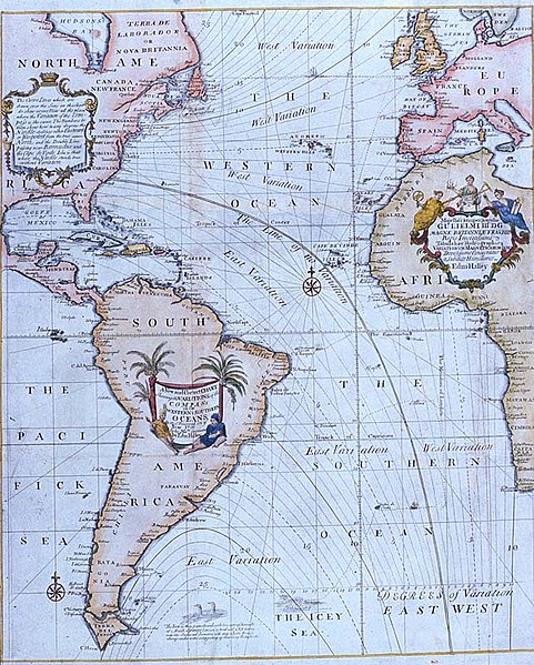
| Other versions | Halley compass variations 1720.jpg |
![[1]](http://lsm.crt.state.la.us/lsmmaps/jpegs/1982.077.020.jpg)
Licensing
|
|
This work is in the public domain in its country of origin and other countries and areas where the copyright term is the author's life plus 100 years or fewer . |
| This file has been identified as being free of known restrictions under copyright law, including all related and neighboring rights. | |