Hispaniola_lrg.jpg

Size of this preview:
800 × 361 pixels
.
Other resolutions:
320 × 145 pixels
|
640 × 289 pixels
|
1,024 × 463 pixels
|
1,280 × 578 pixels
|
3,000 × 1,355 pixels
.
| Description |
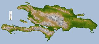
English:
Topography map of
Hispaniola
.
Deutsch:
Hispaniola
.
|
|||||
| Source |
Image Courtesy: NASA/JPL/SRTM
|
|||||
| Author | NASA/JPL/SRTM | |||||
|
Permission
( Reusing this file ) |
|
|||||
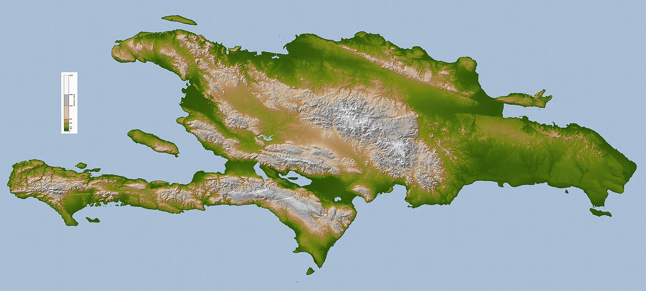
| Other versions | Derivative works of this file: Hispaniola lrg Bg.jpg |


|
This
map
image could be re-created
using
vector graphics
as an
SVG
file
. This has several advantages; see
Commons:Media for cleanup
for more information. If an SVG form of this image is available, please upload it and afterwards replace this template with
{{

vector version available

|

new image name

}}
.
It is recommended to name the SVG file “Hispaniola lrg.svg”—then the template Vector version available (or Vva ) does not need the new image name parameter. |

