IMG_WindfarmKilmuck1920.jpg
Size of this preview:
800 × 482 pixels
.
Other resolutions:
320 × 193 pixels
|
640 × 386 pixels
|
1,024 × 617 pixels
|
1,280 × 772 pixels
|
2,560 × 1,543 pixels
|
3,888 × 2,344 pixels
.
Summary
| Camera location |
|
View this and other nearby images on: OpenStreetMap |
|
|---|
| Description |
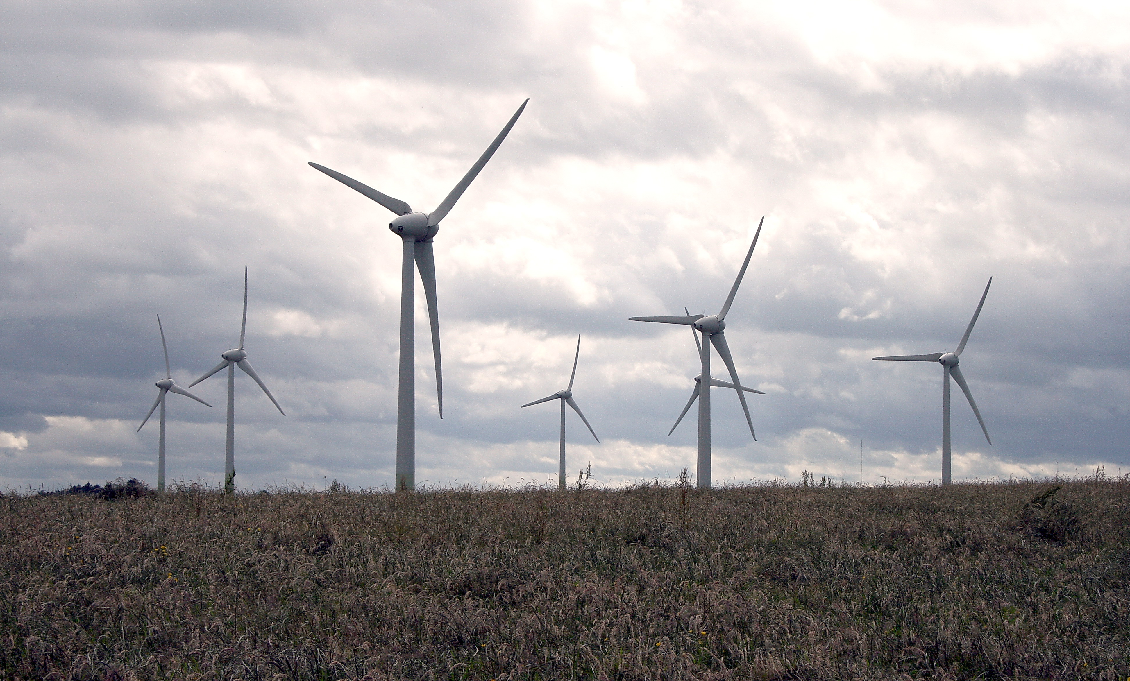
English:
The windfarm north of
Kilmuckridge
, adjacent to Ballinoulart in County Wexford, Ireland
|
| Date | 8 July 2007 (original upload date) |
| Source | Transferred from en.wikipedia to Commons by Teratornis using CommonsHelper . |
| Author | Sarah777 at English Wikipedia |
Licensing
|
|
This work has been released into the
public domain
by its author,
Sarah777
at
English Wikipedia
. This applies worldwide.
In some countries this may not be legally possible; if so: Sarah777 grants anyone the right to use this work for any purpose , without any conditions, unless such conditions are required by law. |
Original upload log
The original description page was
here
. All following user names refer to en.wikipedia.
- 2007-07-08 13:01 Sarah777 3888×2344× (2354407 bytes) The windfarm north of Kilmuckridge, County Wexford, Ireland