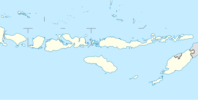
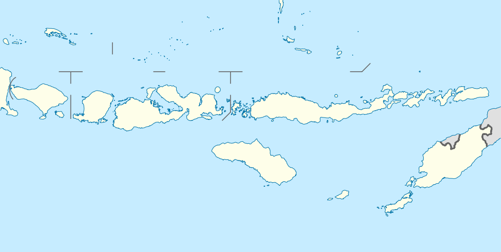
Indonesia_Lesser_Sunda_Islands_location_map.svg

Size of this PNG preview of this SVG file:
800 × 404 pixels
.
Other resolutions:
320 × 162 pixels
|
640 × 323 pixels
|
1,024 × 517 pixels
|
1,280 × 646 pixels
|
2,560 × 1,293 pixels
|
1,323 × 668 pixels
.
Summary
| Description |
Quadratische Plattkarte, N-S-Streckung 101 %. Geographische Begrenzung der Karte:
Equirectangular projection, N/S stretching 101 %. Geographic limits of the map:
|
||
| Date | |||
| Source |
Own work , using
|
||
| Author | NordNordWest | ||
|
Permission
( Reusing this file ) |
This file is licensed under the
Creative Commons
Attribution-Share Alike 3.0 Germany
license.

This file is licensed under the
Creative Commons
Attribution-Share Alike 3.0 Germany
license.
|
||
| Other versions | Derivative works of this file: Corvus florensis range map.svg | ||
| SVG development |
This
map
was created with an unknown SVG tool.
|

