Island_of_Ireland_relief_location_map.png
Size of this preview:
481 × 599 pixels
.
Other resolutions:
192 × 240 pixels
|
385 × 480 pixels
|
616 × 768 pixels
|
822 × 1,024 pixels
|
1,450 × 1,807 pixels
.
| Description |
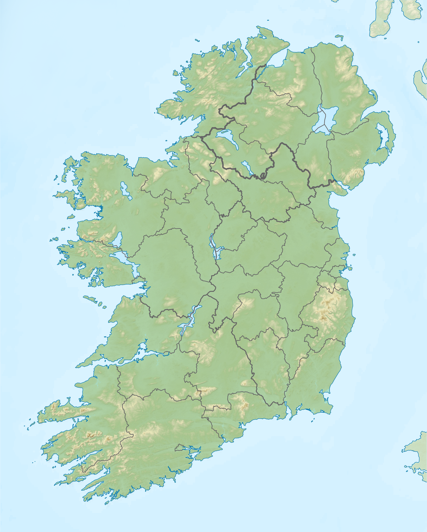
Relief map of Ireland Equirectangular map projection on WGS 84 datum, with N/S stretched 170% Geographic limits:
|
| Date | |
| Source |
Shuttle Radar Topography Mission
National Geospatial-Intelligence Agency
File:Island of Ireland location map.svg : Rannpháirtí anaithnid
|
| Author | Nilfanion |
|
Permission
( Reusing this file ) |
This file is licensed under the
Creative Commons
Attribution-Share Alike 3.0 Unported
license.
|