Karte-Hohenzollern.png
Size of this preview:
782 × 600 pixels
.
Other resolutions:
313 × 240 pixels
|
626 × 480 pixels
|
1,002 × 768 pixels
|
1,274 × 977 pixels
.
| Description |
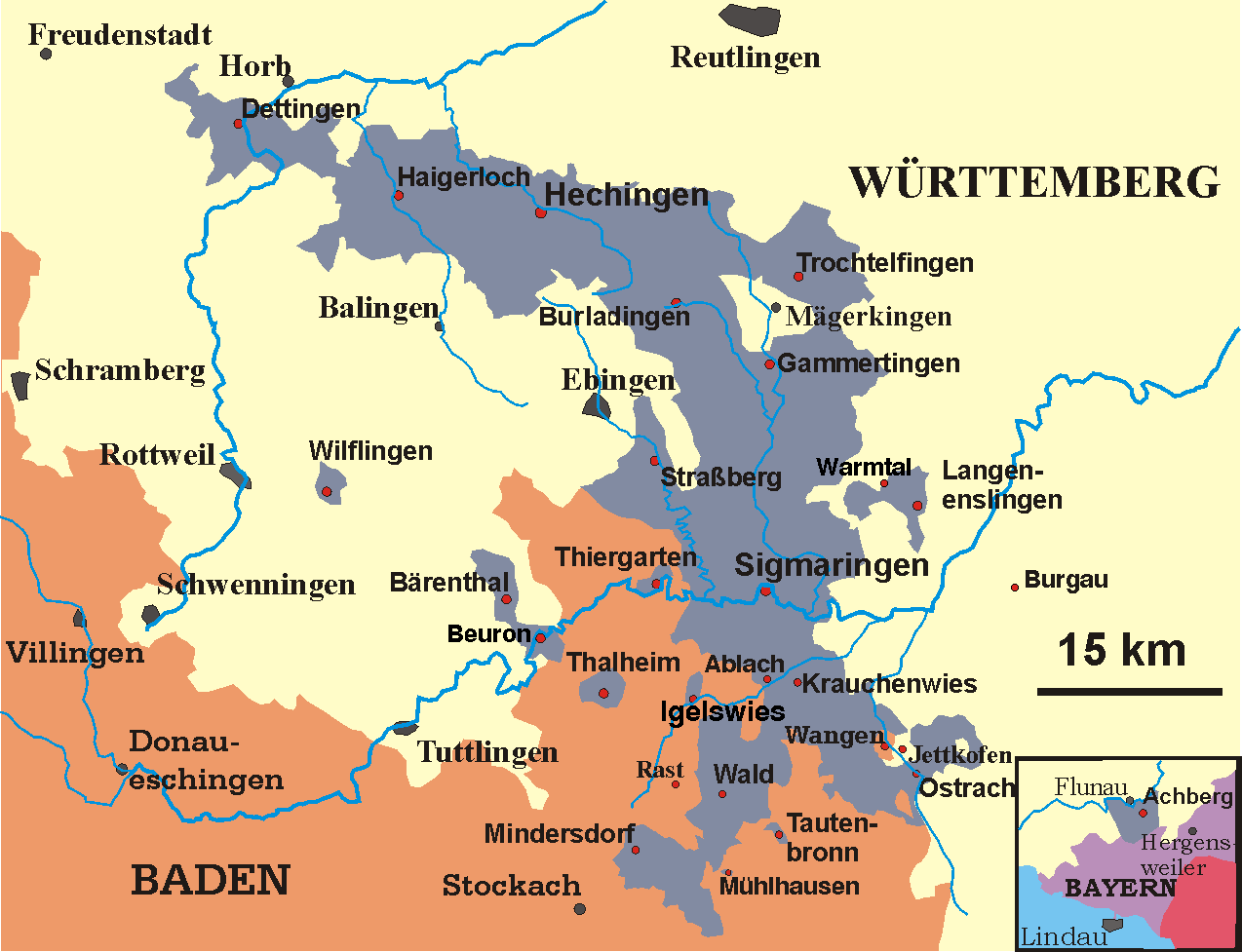
Deutsch:
Karte der Hohenzollernschen Lande, Stand 1930
English:
Map of the Prussian province of Hohenzollern, 1930
|
||
| Date | May 2005-December 2006 | ||
| Source | transferred from the German Wikipedia | ||
| Author | Störfix (original author), Ssch (modifications) | ||
|
Permission
( Reusing this file ) |
|