Map_of_Central_America.png

Size of this preview:
800 × 571 pixels
.
Other resolutions:
320 × 228 pixels
|
640 × 457 pixels
|
848 × 605 pixels
.
Summary
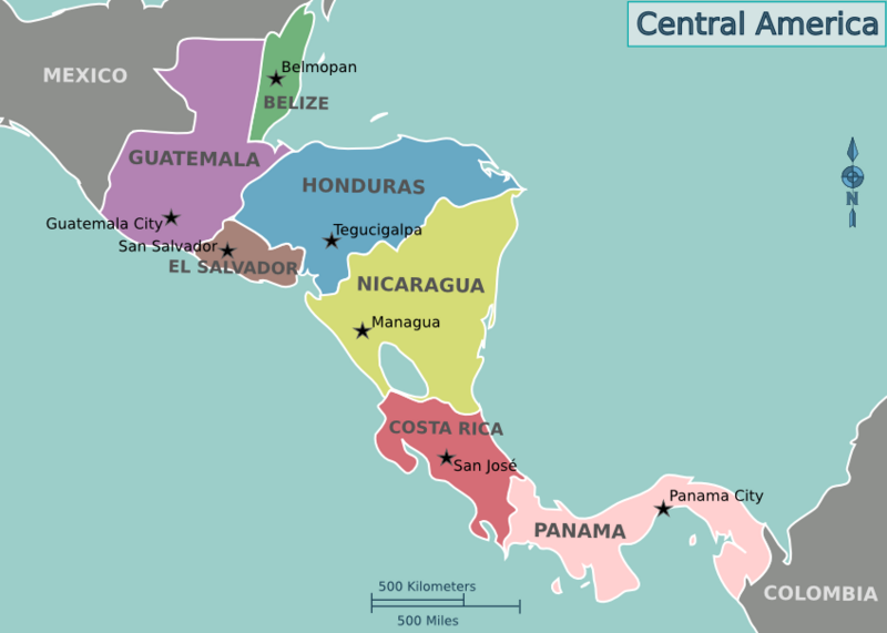
| Description | Map of Central America for use on Wikivoyage , English version |
| Date | |
| Source | Own work based on the blank world map |
| Author | Cacahuate , amendments by Joelf |
| Other versions |
.png)
.png)
Licensing
This file is licensed under the
Creative Commons
Attribution-Share Alike
Attribution-Share Alike 4.0 International
,
3.0 Unported
,
2.5 Generic
,
2.0 Generic
and
1.0 Generic
license.
-
You are free:
- to share – to copy, distribute and transmit the work
- to remix – to adapt the work
-
Under the following conditions:
- attribution – You must give appropriate credit, provide a link to the license, and indicate if changes were made. You may do so in any reasonable manner, but not in any way that suggests the licensor endorses you or your use.
- share alike – If you remix, transform, or build upon the material, you must distribute your contributions under the same or compatible license as the original.
Original upload log
|
|
This file was imported from Wikivoyage WTS. |
The original description page was
here
. All following user names refer to wts.wikivoyage-old.
- 2008-08-02 23:40 (WT-shared) Cacahuate [ dead link ] 848×605 (122330 bytes) {{Imagecredit| credit=[[User:Cacahuate|Cacahuate]], [[User:Mark|Mark]] (WT logo) |captureDate=August 2nd, 2008 |location=Central America |so (Import from wikitravel.org/shared)
- 2010-10-31 04:29 (WT-shared) Joelf [ dead link ] 848×605 (122278 bytes) (Import from wikitravel.org/shared)
- 2012-09-07 03:46 Shaund [ dead link ] 848×605 (112464 bytes) rmv logo