Moon_and_pillbox_-_geograph.org.uk_-_325948_crop.jpg
No higher resolution available.
Summary
| Description |
English:
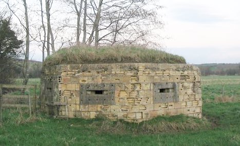
Moon and pillbox A view looking to the northeast towards a pillbox on the bank of the Mells River at Lullington.
|
| Date | |
| Source |
This file was derived from:
Moon and pillbox - geograph.org.uk - 325948.jpg
|
| Author | Phil Williams ; cropped by Beyond My Ken ( talk ) 03:38, 5 April 2015 (UTC) |
| Other versions | |
|
Attribution
( required by the license ) |
Phil Williams / Moon and pillbox / |

| Camera location |
|
View this and other nearby images on: OpenStreetMap |
|
|---|
Licensing
This file is licensed under the
Creative Commons
Attribution-Share Alike 2.0 Generic
license.
Attribution:
Phil Williams
-
You are free:
- to share – to copy, distribute and transmit the work
- to remix – to adapt the work
-
Under the following conditions:
- attribution – You must give appropriate credit, provide a link to the license, and indicate if changes were made. You may do so in any reasonable manner, but not in any way that suggests the licensor endorses you or your use.
- share alike – If you remix, transform, or build upon the material, you must distribute your contributions under the same or compatible license as the original.