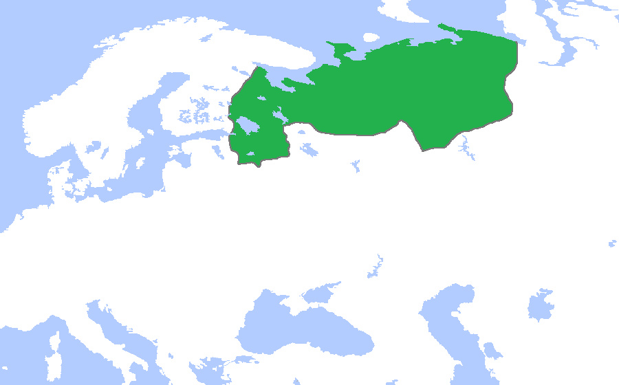
Novgorod1400.png
Size of this preview:
800 × 498 pixels
.
Other resolutions:
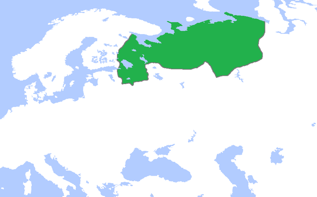
320 × 199 pixels
|
640 × 398 pixels
|
900 × 560 pixels
.
Summary
| Description |
English:
Locator map of the Novgorod Republic, c. 1400. (Partially based on
Atlas of World History
(2007) - The World 1300-1400, map)
中文:
绿色部分为
诺夫哥罗德公国
的最大势力范围(约1400年)。
|
| Date | |
| Source | Own work |
| Author | Gabagool |
Licensing
I, the copyright holder of this work, hereby publish it under the following license:
This file is licensed under the
Creative Commons
Attribution 3.0 Unported
license.
-
You are free:
- to share – to copy, distribute and transmit the work
- to remix – to adapt the work
-
Under the following conditions:
- attribution – You must give appropriate credit, provide a link to the license, and indicate if changes were made. You may do so in any reasonable manner, but not in any way that suggests the licensor endorses you or your use.