PalmCircle_AerialView.jpg
Size of this preview:
800 × 517 pixels
.
Other resolutions:
320 × 207 pixels
|
640 × 414 pixels
|
1,024 × 662 pixels
|
1,200 × 776 pixels
.
Summary
|
|
This is an image of a place or building that is listed on the
National Register of Historic Places
in the
United States of America
. Its reference number is
84000104
.
|
| Description |
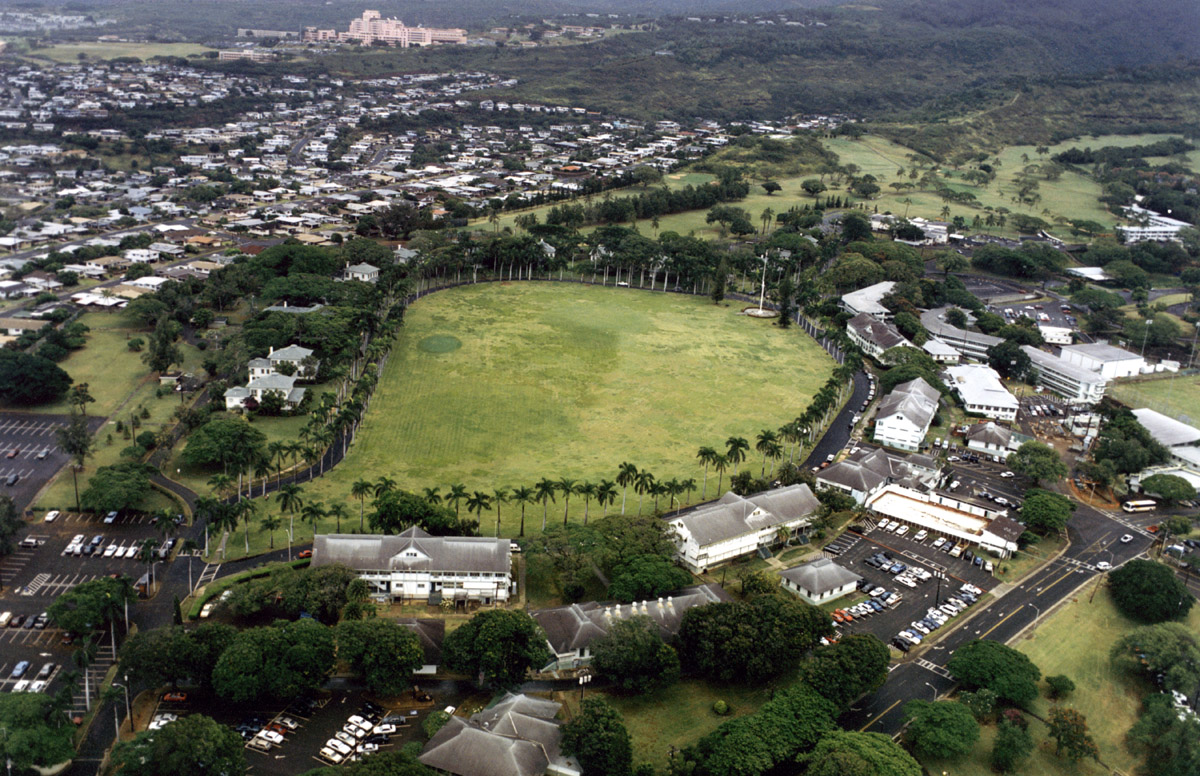
English:
Aerial view of Palm Circle at Fort Shafter
|
| Source | |
| Author |
| Object location |
|
View this and other nearby images on: OpenStreetMap |
|
|---|
Licensing
|
|
This file is a work of a
U.S. Army
soldier or employee, taken or made as part of that person's official duties. As a
work
of the
U.S. federal government
, it is in the
public domain
in the United States.
|

|
Original upload log
The original description page was
here
. All following user names refer to en.wikipedia.
- 2007-06-30 08:58 Nobunaga24 1200×776×8 (405304 bytes) Aerial view of Palm Circle at Fort Shafter