Panoramica_Alisas_Cantabria.jpg
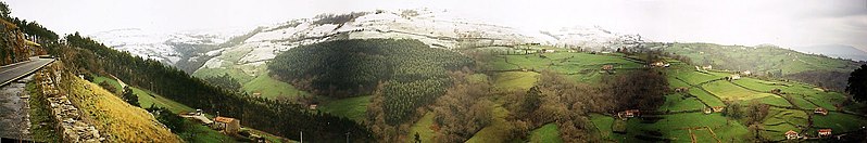
Size of this preview:
798 × 132 pixels
.
Other resolutions:
320 × 53 pixels
|
1,662 × 275 pixels
.
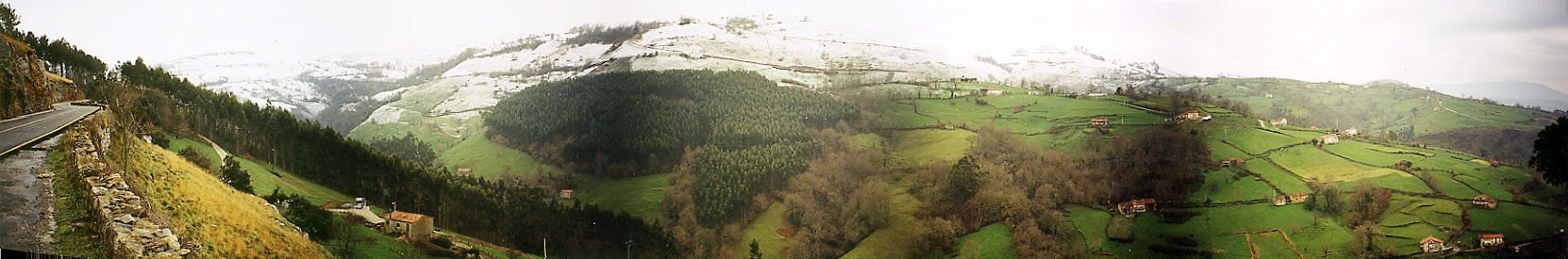
Español:
Vista panorámica desde la carretera que asciende al puerto de Alisas (Cantabria,
España
). La imagen muestra campos de pastos y plantaciones de eucaliptos en el municipio de Riotuerto.
English:
Panoramic from the road that ascends to the Alisas (Cantabria,
Spain
). The image shows to fields of grass and plantations of eucalyptuses in the municipality of Riotuerto.
- Author : Jesús Gómez Fernández
- Date : Invierno de 2003
| Camera location |
|
View this and other nearby images on: OpenStreetMap |
|
|---|
This file is licensed under the
Creative Commons
Attribution-Share Alike 2.1 Spain
license.
-
You are free:
- to share – to copy, distribute and transmit the work
- to remix – to adapt the work
-
Under the following conditions:
- attribution – You must give appropriate credit, provide a link to the license, and indicate if changes were made. You may do so in any reasonable manner, but not in any way that suggests the licensor endorses you or your use.
- share alike – If you remix, transform, or build upon the material, you must distribute your contributions under the same or compatible license as the original.
