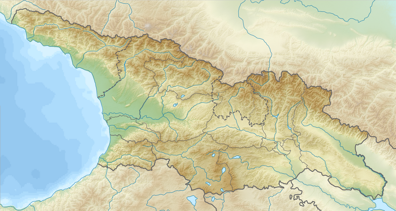
Relief_Map_of_Georgia.png

Size of this preview:
800 × 426 pixels
.
Other resolutions:
320 × 170 pixels
|
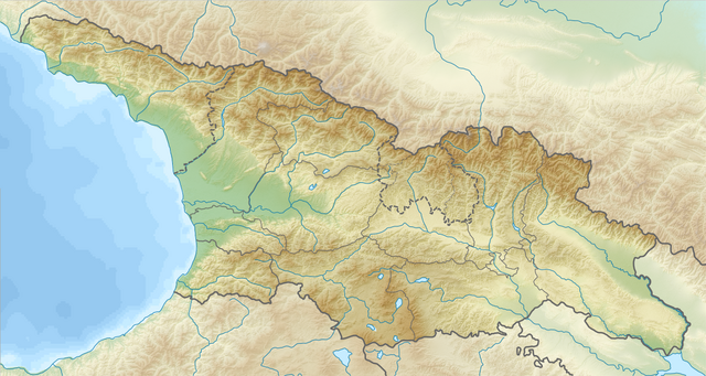
640 × 341 pixels
|
1,182 × 629 pixels
.
Summary
| Description |
English:
Relief map of
Georgia
Equirectangular projection, N/S stretching 135 %. Geographic limits of the map:
|
| Date | |
| Source |
|
| Author |
|
|
Permission
( Reusing this file ) |
This file is licensed under the
Creative Commons
Attribution-Share Alike 3.0 Unported
license.
|
| Other versions |
|
