Relief_Map_of_Turkmenistan.png
Size of this preview:
800 × 568 pixels
.
Other resolutions:
320 × 227 pixels
|
640 × 454 pixels
|
1,024 × 727 pixels
|
1,237 × 878 pixels
.

|
This
map
image could be re-created
using
vector graphics
as an
SVG
file
. This has several advantages; see
Commons:Media for cleanup
for more information. If an SVG form of this image is available, please upload it and afterwards replace this template with
{{

vector version available

|

new image name

}}
.
It is recommended to name the SVG file “Relief Map of Turkmenistan.svg”—then the template Vector version available (or Vva ) does not need the new image name parameter. |
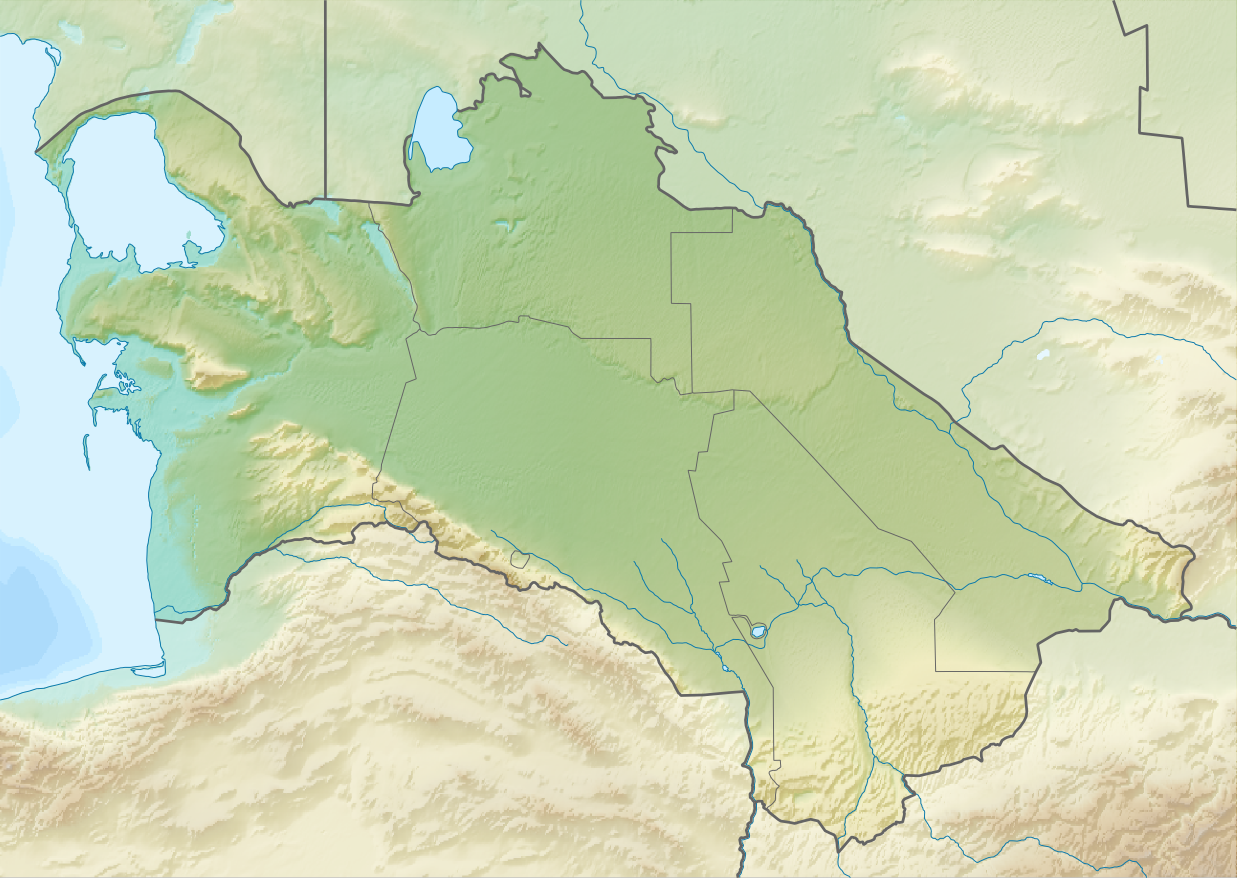
Summary
| Description |
English:
Relief map of
Turkmenistan
Equirectangular projection, N/S stretching 130 %. Geographic limits of the map:
|
| Date | |
| Source | |
| Author |
|
|
Permission
( Reusing this file ) |
This file is licensed under the
Creative Commons
Attribution-Share Alike 3.0 Unported
license.
|