River_Rouge_Dearborn.jpg

Size of this preview:
800 × 561 pixels
.
Other resolutions:
320 × 224 pixels
|
640 × 448 pixels
|
1,024 × 717 pixels
|
1,280 × 897 pixels
|
1,500 × 1,051 pixels
.
| Description |
English:
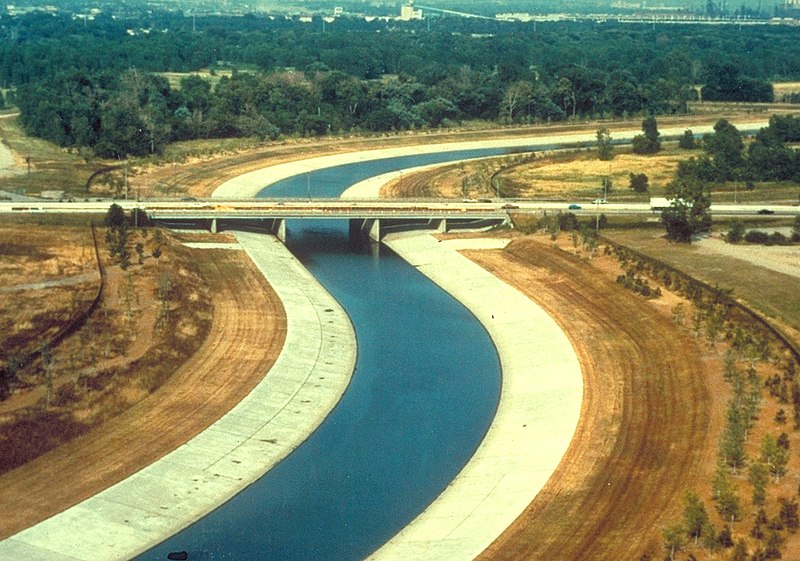
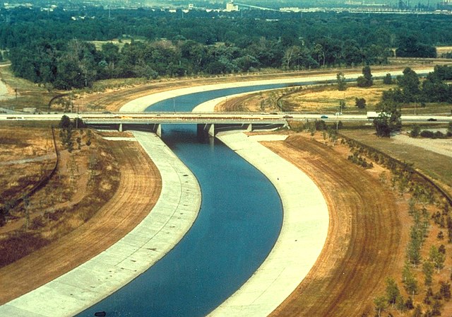
River Rouge in Dearborn, Michigan, USA. The U.S. Army Corps of Engineers has channelized the river as a flood control project. The view in the picture appears to be looking west across the Southfield Freeway,
M-39
.
|
|||
| Date | not specified or unknown | |||
| Source |
U.S. Army Corps of Engineers Digital Visual Library
Image page Image description page Digital Visual Library home page |
|||
| Author | U.S. Army Corps of Engineers, photographer not specified or unknown | |||
|
Permission
( Reusing this file ) |
|
|||
| Location | Dearborn, Michigan, USA |
| Camera location |
|
View this and other nearby images on: OpenStreetMap |
|
|---|