Roman_Empire_Map.png
No higher resolution available.
Summary
| Description |
Deutsch:
Römisches Reich um 117 zur Zeit
Trajans
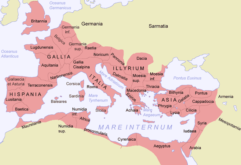
English:
Roman empire around 117 AD.
Español:
El Imperio Romano en su máxima extensión, durante el reinado de Trajano (hacia el 117)
Suomi:
Rooman valtakunta
|
| Date | |
| Source |
Own work |
| Author | Jani Niemenmaa |
| Other versions |
|
Licensing

|
Permission is granted to copy, distribute and/or modify this document under the terms of the GNU Free Documentation License , Version 1.2 or any later version published by the Free Software Foundation ; with no Invariant Sections, no Front-Cover Texts, and no Back-Cover Texts. A copy of the license is included in the section entitled GNU Free Documentation License . |
|
|
This file is licensed under the Creative Commons Attribution-Share Alike 3.0 Unported license. | |
|
||
| This licensing tag was added to this file as part of the GFDL licensing update . |