SFS_Koeln-Frankfurt.png
Size of this preview:
444 × 600 pixels
.
Other resolutions:
178 × 240 pixels
|
355 × 480 pixels
|
569 × 768 pixels
|
1,122 × 1,515 pixels
.

|
This
transport map
image could be re-created
using
vector graphics
as an
SVG
file
. This has several advantages; see
Commons:Media for cleanup
for more information. If an SVG form of this image is available, please upload it and afterwards replace this template with
{{

vector version available

|

new image name

}}
.
It is recommended to name the SVG file “SFS Koeln-Frankfurt.svg”—then the template Vector version available (or Vva ) does not need the new image name parameter. |
Summary
| Description |
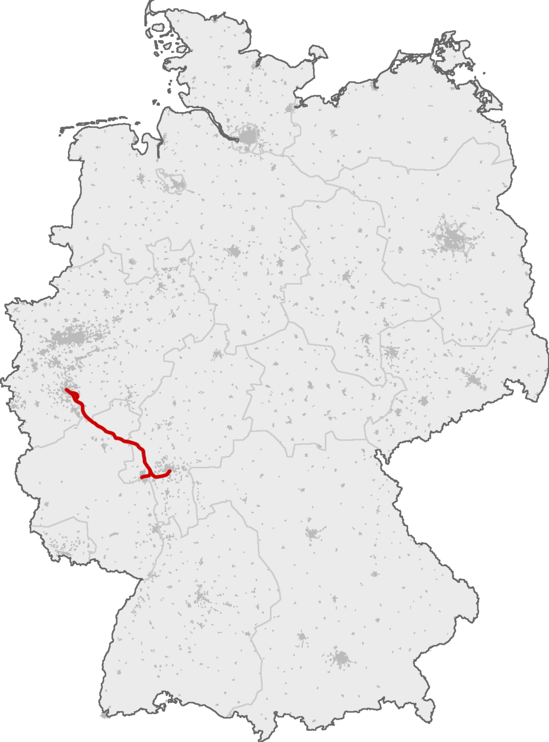
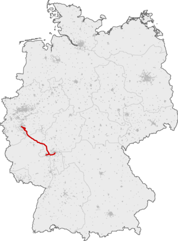
Deutsch:
Schnellfahrstrecke Köln–Rhein/Main (Neubaustrecke Siegburg–Frankfurt für 300 km/h, Ausbaustrecke Köln–Siegburg für 200 km/h)
English:
High-speed railway line Cologne–Frankfurt. The northern end from Cologne to Siegburg line has been upgraded for speeds up to 200 km/h, the line from Siegburg to Frankfurt has been built for speeds up to 300 km/h
|
| Date | |
| Source | Own work based on a map by OpenGeoDB |
| Author | Qualle |
|
Permission
( Reusing this file ) |
own work |
Licensing
This image was generated with OpenGeoDB . The information there is placed in the public domain, images generated from OpenGeoDB are derivative works without passing the threshold of creativity, they are therefore also public domain.
|
|
This work is ineligible for copyright and therefore in the public domain because it consists entirely of information that is common property and contains no original authorship . |