Spitalfields_Re-development,_London_-_geograph.org.uk_-_64144.jpg
Size of this preview:
450 × 600 pixels
.
Other resolutions:
180 × 240 pixels
|
480 × 640 pixels
.
Summary
| Description |
English:
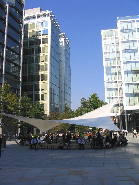
Bishops Square, Spitalfields, London - a town square with many trees. A pedestrian precinct directly west of Spitalfields Market (which is surrouned by eateries, bars, cafés and niche shops). The name is a medieval corruption of 'hospital fields' - the place where the sick and dying were taken outside of the city walls; see equally Spital, Windsor which is a close suburb.
|
| Date | |
| Source | From geograph.org.uk |
| Author | John Winfield |
|
Attribution
( required by the license ) |
John Winfield / Spitalfields Re-development, London / |
| Object location |
|
View this and other nearby images on: OpenStreetMap |
|
|---|
_&language=en)
Licensing

|
This image was taken from the
Geograph project
collection. See
this photograph's page
on the Geograph website for the photographer's contact details. The copyright on this image is owned by
John Winfield
and is licensed for reuse under the
Creative Commons
Attribution-ShareAlike 2.0 license.
|
This file is licensed under the
Creative Commons
Attribution-Share Alike 2.0 Generic
license.
Attribution:
John Winfield
-
You are free:
- to share – to copy, distribute and transmit the work
- to remix – to adapt the work
-
Under the following conditions:
- attribution – You must give appropriate credit, provide a link to the license, and indicate if changes were made. You may do so in any reasonable manner, but not in any way that suggests the licensor endorses you or your use.
- share alike – If you remix, transform, or build upon the material, you must distribute your contributions under the same or compatible license as the original.