Thuringische_staaten1890.jpg
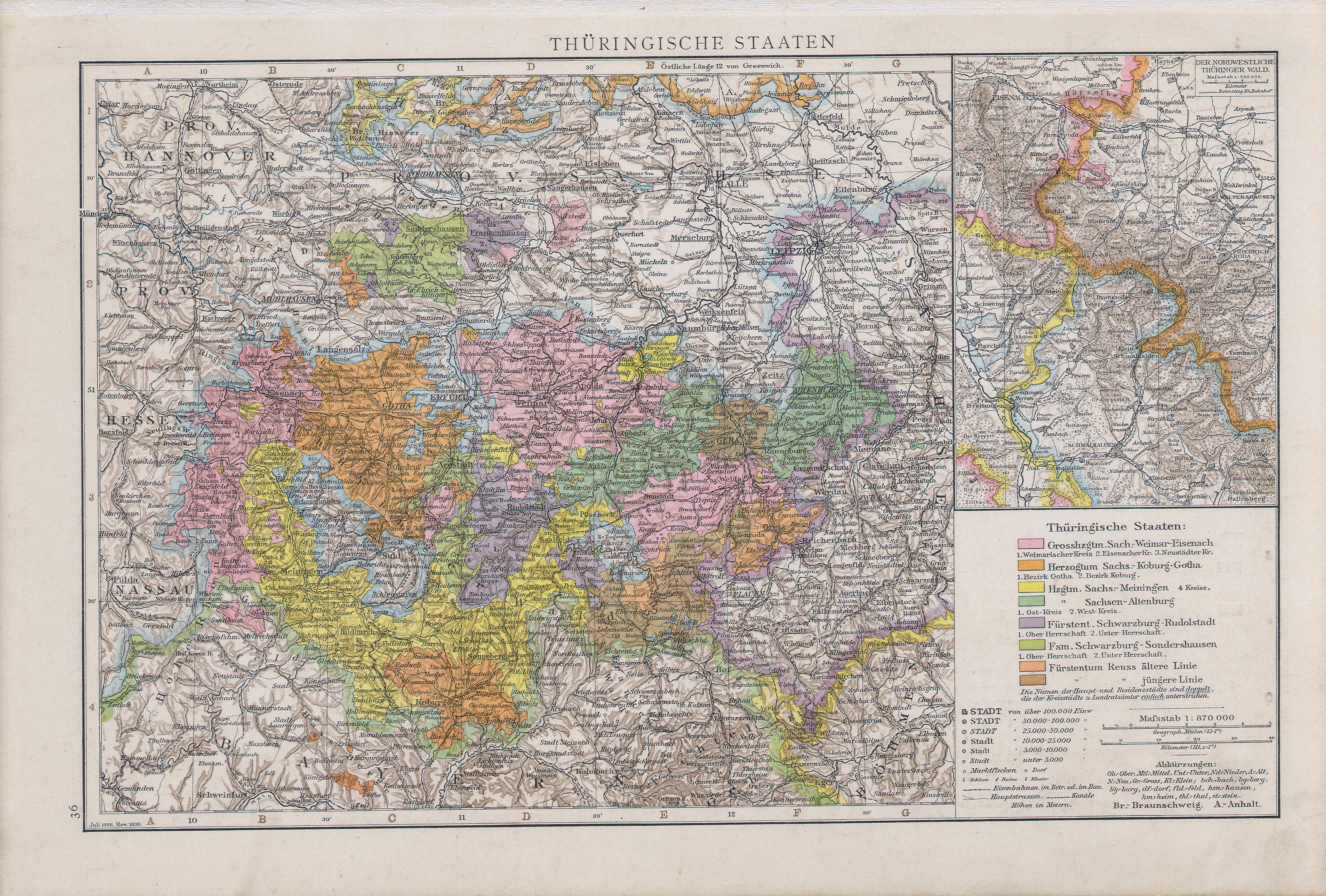
Summary
| Description |
English:
Map of Thuringian States, 1890
Slovenčina:
Mapa durínskych štátov, 1890
|
| Date | |
| Source |
Allgemeiner Handatlas : in 120 Kartenseiten nebst alphabetischem Namenverzeichnis / hrsg. von der geographischen Anstalt von Velhagen & Klasing in Leipzig, 2.,verm. und verb. Aufl., 2. rev. Abdruck, Erschienen: Bielefeld u. Leipzig : Velhagen & Klasing, 1890, S. 36. |
| Author | Andree, Richard |
Licensing
|
|
This work is in the public domain in its country of origin and other countries and areas where the copyright term is the author's life plus 70 years or fewer .
|
| This file has been identified as being free of known restrictions under copyright law, including all related and neighboring rights. | |