Ur_from_the_Air.jpg
Size of this preview:
365 × 599 pixels
.
Other resolutions:
146 × 240 pixels
|
292 × 480 pixels
|
468 × 768 pixels
|
624 × 1,024 pixels
|
1,881 × 3,088 pixels
.
| Description |
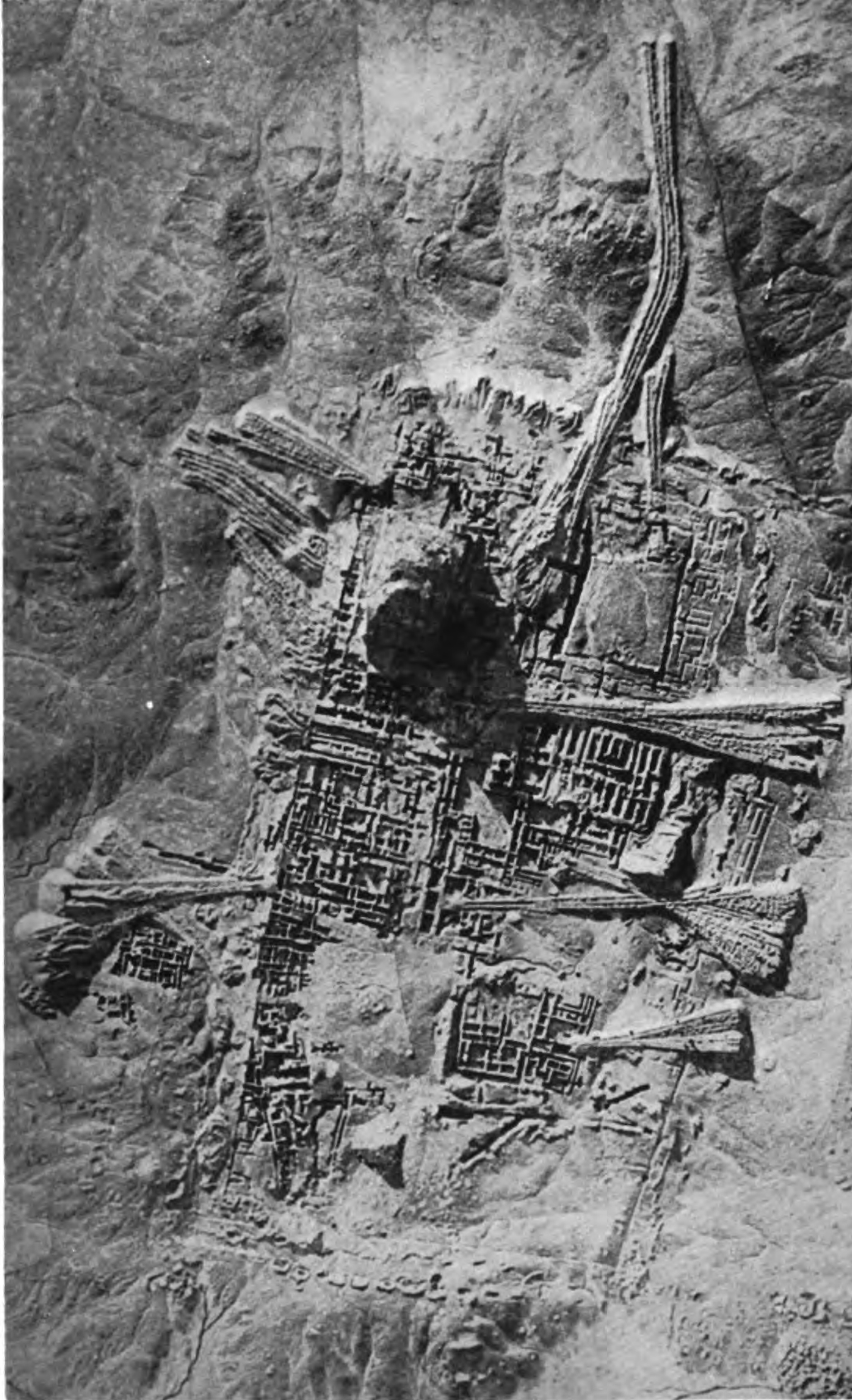
English:
A photograph of Ur from the air.
|
|||
| Date | ||||
| Source | History and monuments of Ur , by C. J. Gadd [1] | |||
| Author | Royal Air Force official | |||
|
Permission
( Reusing this file ) |
|

| Camera location |
|
View this and other nearby images on: OpenStreetMap |
|
|---|