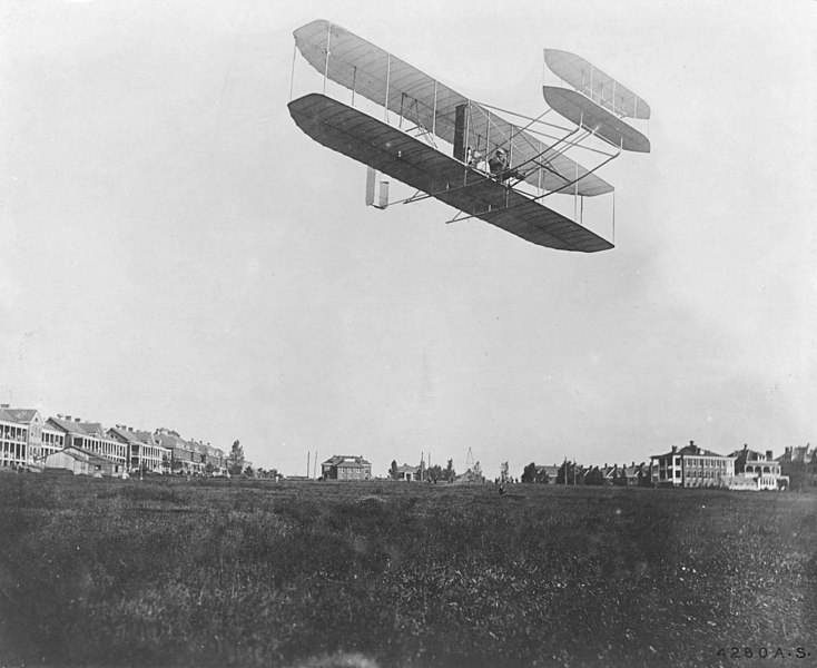
Wright-Fort_Myer.jpg

Size of this preview:
734 × 600 pixels
.
Other resolutions:
294 × 240 pixels
|
588 × 480 pixels
|
940 × 768 pixels
|
1,253 × 1,024 pixels
|
2,506 × 2,048 pixels
|
2,680 × 2,190 pixels
.
Summary
| Description |
|
||
| Date | |||
| Source |
Records of the Office of the Chief Signal Officer. (111-RB-826) ( image reference ) ( image source ) |
||
| Author | Unknown , US Army |
| Object location |
|
View this and other nearby images on: OpenStreetMap |
|
|---|
Licensing
|
|
This file is a work of a
U.S. Army
soldier or employee, taken or made as part of that person's official duties. As a
work
of the
U.S. federal government
, it is in the
public domain
in the United States.
|

|