Newton_County,_Georgia
Newton County, Georgia
County in Georgia, United States
Newton County is a county located in the north central portion of the U.S. state of Georgia. As of the 2020 census, the population was 112,483.[1] The county seat is Covington.[2]
Newton County | |
|---|---|
The Newton County courthouse in Covington in 1969 | |
Location within the U.S. state of Georgia | |
Georgia's location within the U.S. | |
| Coordinates: 33°35′57″N 83°51′31″W | |
| Country | |
| State | |
| Founded | December 24, 1821; 203 years ago (1821) |
| Named for | John Newton |
| Seat | Covington |
| Largest city | Covington |
| Area | |
| • Total | 279 sq mi (720 km2) |
| • Land | 272 sq mi (700 km2) |
| • Water | 7.0 sq mi (18 km2) 2.5% |
| Population (2020) | |
| • Total | 112,483 |
| Time zone | UTC−5 (Eastern) |
| • Summer (DST) | UTC−4 (EDT) |
| Congressional districts | 4th, 10th |
| Website | co.newton.ga.us |
Newton County is included in the Atlanta-Sandy Springs-Roswell MSA.
Newton county is named after Sgt. John Newton, who served under Gen. Francis Marion, the "Swamp Fox", in the American Revolutionary War. It was created on December 24, 1821.[3]
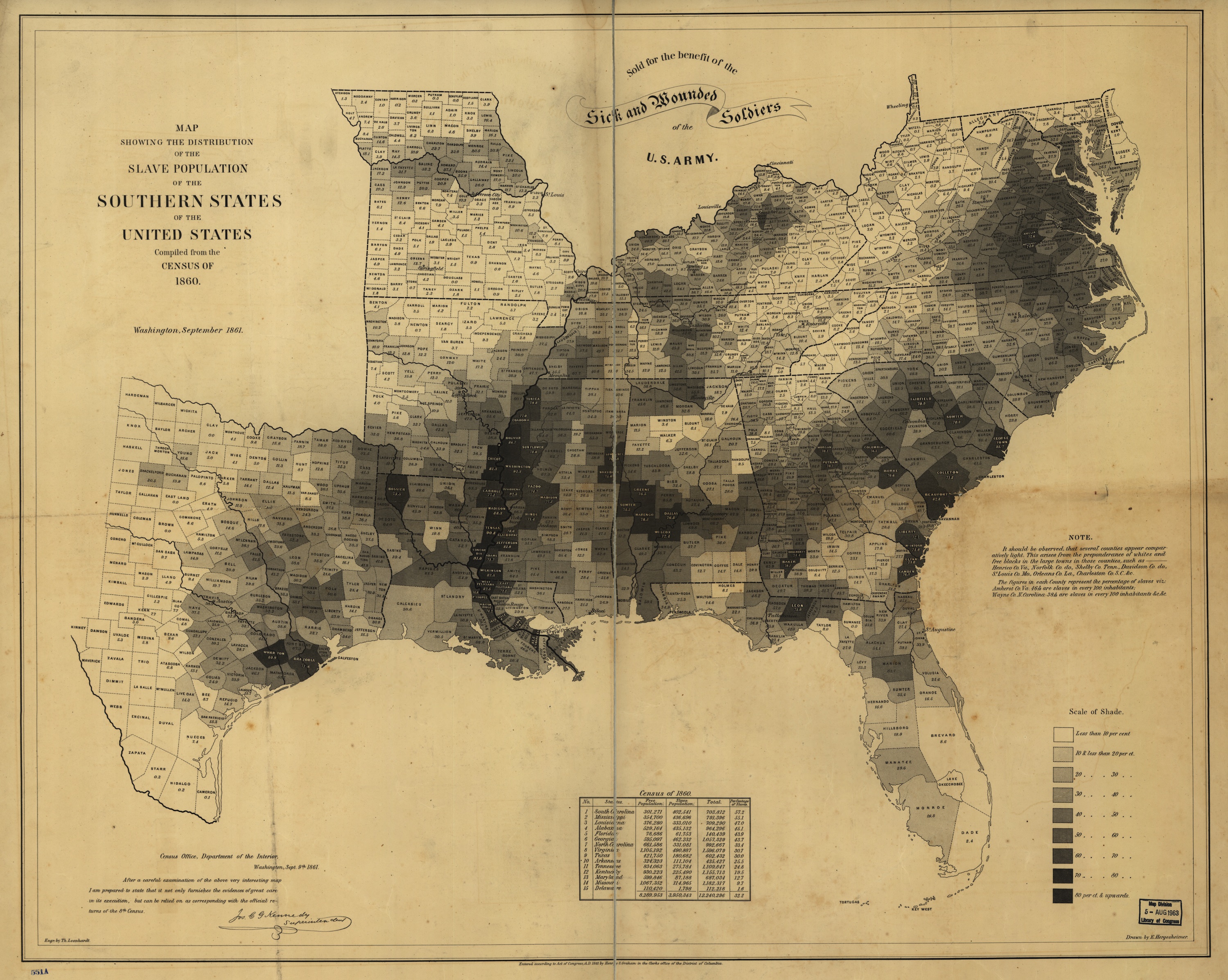
During the American Civil War, the county provided the Lamar Infantry, which was a part of Cobb's Legion. The 1860 census shows the enslaved population was nearly half, 45.2 percent.[4] Newton County adjoins Jasper County: Georgia is one of many states that have a Newton County and a Jasper County that border each other.
In late 1978, the first five episodes of The Dukes of Hazzard were filmed in and around Covington, Georgia. The TV series In The Heat of the Night was filmed in Covington from 1988 to 1995. Also, in Remember the Titans, there were many scenes shot on "The Square" and the final football scene was shot at Homer Sharp Stadium, which is located near downtown Covington. Currently part of the new series The Vampire Diaries is being filmed on "The Square". Additionally, major films including My Cousin Vinny, Friday the 13th Part VI: Jason Lives and Halloween II, Rob Zombie's sequel to his 2007 film Halloween, were also filmed near and around "The Square" in downtown Covington.
Newton County claims to be the birthplace of Georgia 4-H. Actually, the Girls Canning and Boys Corn Clubs in 1904 by G.C. Adams was renamed the 4-H Club in 1906, after the original 4-H Club that opened in Iowa in 1905.
According to the U.S. Census Bureau, the county has a total area of 279 square miles (720 km2), of which 272 square miles (700 km2) is land and 7.0 square miles (18 km2) (2.5%) is water.[5] The county is located in the Piedmont region of the state.
The majority of Newton County is located in the Upper Ocmulgee River sub-basin of the Altamaha River basin. A small eastern portion of the county, from southwest of Social Circle to southwest of Newborn, is located in the Upper Oconee River sub-basin of the same Altamaha River basin.[6]
Major highways
Adjacent counties
- Walton County (north)
- Morgan County (east)
- Jasper County (southeast)
- Butts County (south)
- Henry County (West southwest)
- Rockdale County (northwest)
Cities
- Covington (county seat)
- Mansfield
- Oxford
- Social Circle
Towns
Unincorporated community
| Census | Pop. | Note | %± |
|---|---|---|---|
| 1830 | 11,155 | — | |
| 1840 | 11,628 | 4.2% | |
| 1850 | 13,296 | 14.3% | |
| 1860 | 14,320 | 7.7% | |
| 1870 | 14,615 | 2.1% | |
| 1880 | 13,623 | −6.8% | |
| 1890 | 14,310 | 5.0% | |
| 1900 | 16,734 | 16.9% | |
| 1910 | 18,449 | 10.2% | |
| 1920 | 21,680 | 17.5% | |
| 1930 | 17,290 | −20.2% | |
| 1940 | 18,576 | 7.4% | |
| 1950 | 20,185 | 8.7% | |
| 1960 | 20,999 | 4.0% | |
| 1970 | 26,282 | 25.2% | |
| 1980 | 34,489 | 31.2% | |
| 1990 | 41,808 | 21.2% | |
| 2000 | 62,001 | 48.3% | |
| 2010 | 99,958 | 61.2% | |
| 2020 | 112,483 | 12.5% | |
| 2023 (est.) | 120,135 | [7] | 6.8% |
| U.S. Decennial Census[8] 1790-1880[9] 1890-1910[10] 1920-1930[11] 1930-1940[12] 1940-1950[13] 1960-1980[14] 1980-2000[15] 2010[16] 2020[17] | |||
| Race / Ethnicity | Pop 2000[18] | Pop 2010[16] | Pop 2020[17] | % 2000 | % 2010 | % 2020 |
|---|---|---|---|---|---|---|
| White alone (NH) | 46,007 | 51,995 | 46,746 | 74.20% | 52.02% | 41.56% |
| Black or African American alone (NH) | 13,690 | 40,371 | 52,246 | 22.08% | 40.39% | 46.45% |
| Native American or Alaska Native alone (NH) | 131 | 199 | 175 | 0.21% | 0.20% | 0.16% |
| Asian alone (NH) | 444 | 881 | 1,044 | 0.72% | 0.88% | 0.93% |
| Pacific Islander alone (NH) | 9 | 34 | 114 | 0.01% | 0.03% | 0.10% |
| Other race alone (NH) | 70 | 169 | 734 | 0.11% | 0.17% | 0.65% |
| Mixed race or Multiracial (NH) | 493 | 1,674 | 4,260 | 0.80% | 1.67% | 3.79% |
| Hispanic or Latino (any race) | 1,157 | 4,635 | 7,164 | 1.87% | 4.64% | 6.37% |
| Total | 62,001 | 99,958 | 112,483 | 100.00% | 100.00% | 100.00% |
As of the 2020 United States census, there were 112,483 people, 37,867 households, and 28,095 families residing in the county.
Most of Newton County is in the Newton County School System. Portions in Social Circle are in the Social Circle City School District.[19]
For the first half of the 20th century, Newton County followed the regular Solid South pattern of voting Democratic. It would later become a state bellwether from 1968 to 2004—meaning that Newton's voting was an accurate predictor of the overall statewide winner. From 2008 to 2016 Newton had been narrowly won by Democrats thanks to its location within the Atlanta metro and the influx of progressive voters both the region and Newton have experienced in recent years. This margin ballooned to a double digit percentage in 2020 as Joe Biden flipped the state as a whole back into the Democratic column.
| Year | Republican | Democratic | Third party | |||
|---|---|---|---|---|---|---|
| No. | % | No. | % | No. | % | |
| 2020 | 23,869 | 43.99% | 29,789 | 54.90% | 605 | 1.11% |
| 2016 | 20,913 | 47.27% | 21,943 | 49.60% | 1,382 | 3.12% |
| 2012 | 20,982 | 48.45% | 21,851 | 50.45% | 476 | 1.10% |
| 2008 | 20,337 | 49.03% | 20,827 | 50.21% | 318 | 0.77% |
| 2004 | 18,095 | 61.99% | 10,939 | 37.47% | 157 | 0.54% |
| 2000 | 11,127 | 60.56% | 6,703 | 36.48% | 545 | 2.97% |
| 1996 | 7,274 | 47.10% | 6,759 | 43.77% | 1,410 | 9.13% |
| 1992 | 5,804 | 42.49% | 5,811 | 42.54% | 2,044 | 14.96% |
| 1988 | 5,809 | 64.77% | 3,111 | 34.69% | 49 | 0.55% |
| 1984 | 5,810 | 63.16% | 3,389 | 36.84% | 0 | 0.00% |
| 1980 | 3,206 | 35.40% | 5,611 | 61.96% | 239 | 2.64% |
| 1976 | 2,137 | 25.35% | 6,294 | 74.65% | 0 | 0.00% |
| 1972 | 4,647 | 77.10% | 1,380 | 22.90% | 0 | 0.00% |
| 1968 | 1,660 | 24.87% | 1,998 | 29.93% | 3,017 | 45.20% |
| 1964 | 2,678 | 42.52% | 3,620 | 57.48% | 0 | 0.00% |
| 1960 | 708 | 18.19% | 3,185 | 81.81% | 0 | 0.00% |
| 1956 | 532 | 14.13% | 3,232 | 85.87% | 0 | 0.00% |
| 1952 | 431 | 10.88% | 3,529 | 89.12% | 0 | 0.00% |
| 1948 | 243 | 9.72% | 2,113 | 84.52% | 144 | 5.76% |
| 1944 | 123 | 5.73% | 2,022 | 94.27% | 0 | 0.00% |
| 1940 | 95 | 5.90% | 1,512 | 93.85% | 4 | 0.25% |
| 1936 | 123 | 5.79% | 1,994 | 93.79% | 9 | 0.42% |
| 1932 | 45 | 2.61% | 1,672 | 96.82% | 10 | 0.58% |
| 1928 | 698 | 44.43% | 873 | 55.57% | 0 | 0.00% |
| 1924 | 139 | 14.63% | 716 | 75.37% | 95 | 10.00% |
| 1920 | 349 | 31.67% | 753 | 68.33% | 0 | 0.00% |
| 1916 | 39 | 3.60% | 943 | 86.99% | 102 | 9.41% |
| 1912 | 43 | 4.57% | 840 | 89.36% | 57 | 6.06% |
| 1908 | 303 | 30.15% | 643 | 63.98% | 59 | 5.87% |
| 1904 | 354 | 25.99% | 928 | 68.14% | 80 | 5.87% |
| 1900 | 294 | 26.56% | 790 | 71.36% | 23 | 2.08% |
| 1896 | 580 | 36.05% | 973 | 60.47% | 56 | 3.48% |
| 1892 | 611 | 36.41% | 1,005 | 59.89% | 62 | 3.69% |
| 1888 | 398 | 32.65% | 788 | 64.64% | 33 | 2.71% |
| 1884 | 792 | 49.69% | 802 | 50.31% | 0 | 0.00% |
| 1880 | 581 | 43.88% | 743 | 56.12% | 0 | 0.00% |
| Board of Commissioners | ||
|---|---|---|
| District | Commissioner | Party |
| CHAIR (at-large) | Marcello Banes (chairman) | Democratic |
| District 1 | Stan Edwards | Republican |
| District 2 | T. Demond Mason | Democratic |
| District 3 | Alana Sanders | Democratic |
| District 4 | J.C. Henderson | Democratic |
| District 5 | Ronnie Cowan | Republican |
- "State & County QuickFacts". United States Census Bureau. Archived from the original on July 3, 2011. Retrieved June 24, 2014.
- "Find a County". National Association of Counties. Retrieved June 7, 2011.
- Krakow, Kenneth K. (1975). Georgia Place-Names: Their History and Origins (PDF). Macon, GA: Winship Press. p. 158. ISBN 0-915430-00-2. Archived (PDF) from the original on September 17, 2003.
- "US Gazetteer files: 2010, 2000, and 1990". United States Census Bureau. February 12, 2011. Retrieved April 23, 2011.
- "Georgia Soil and Water Conservation Commission Interactive Mapping Experience". Georgia Soil and Water Conservation Commission. Retrieved November 19, 2015.
- "Annual Estimates of the Resident Population for Counties: April 1, 2020 to July 1, 2023". United States Census Bureau. Retrieved March 31, 2024.
- "Decennial Census of Population and Housing by Decade". United States Census Bureau.
- "1880 Census Population by Counties 1790-1800" (PDF). United States Census Bureau. 1880.
- "1910 Census of Population - Georgia" (PDF). United States Census Bureau. 1910.
- "1930 Census of Population - Georgia" (PDF). United States Census Bureau. 1930.
- "1940 Census of Population - Georgia" (PDF). United States Census Bureau. 1940.
- "1950 Census of Population - Georgia -" (PDF). United States Census Bureau. 1950.
- "1980 Census of Population - Number of Inhabitants - Georgia" (PDF). United States Census Bureau. 1980.
- "2000 Census of Population - Population and Housing Unit Counts - Georgia" (PDF). United States Census Bureau. 2000.
- "P004 HISPANIC OR LATINO, AND NOT HISPANIC OR LATINO BY RACE – 2000: DEC Summary File 1 – Newton County, Georgia". United States Census Bureau.
- "2020 CENSUS - SCHOOL DISTRICT REFERENCE MAP: Newton County, GA" (PDF). U.S. Census Bureau. Retrieved May 7, 2023. - Text list
- Leip, David. "Dave Leip's Atlas of U.S. Presidential Elections". uselectionatlas.org. Retrieved March 22, 2018.