Hurricane Arlene was the first tropical cyclone of the 1963 Atlantic hurricane season and one of the wettest storms ever recorded in Bermuda. Originating from a tropical depression on July31, Arlene quickly intensified into a Category 2 hurricane on August2. After attaining this intensity, the storm quickly weakened and turned west. By August4, Arlene had degenerated into a tropical depression. The storm failed to re-organize until August7, by which time it restrengthened into a tropical storm. The following day, Arlene re-attained hurricane-status before passing directly over Bermuda. Several hours after passing the island, it reached its peak intensity with winds of 115mph (160km/) and a barometric pressure of 969 mbar (hPa; 28.61inHg). By August11, Arlene transitioned into an extratropical cyclone before being absorbed by another cyclone later that day.
Along its track, several hurricane warnings and watches were issued for the Leeward Islands; however, no damage was reported on any of the islands. The storm has its greatest impact in Bermuda where high winds and near-record rainfall downed trees, power lines and caused flooding. Damages across the island amounted to $300,000 (1963USD; $2.1million 2009USD).
Meteorological history
Map plotting the storm's track and intensity, according to the Saffir–Simpson scale
Hurricane Arlene was first identified as a tropical depression on July31 between the Lesser Antilles and the Cape Verde Islands by the TIROS VI satellite. The large cyclone, estimated at five degrees in diameter,[1] steadily tracked westward and eventually northwestward and intensified into a tropical storm on August2.[2] Later that day, a Navy reconnaissance aircraft reached the storm and found a clear eye and a barometric pressure of 987 mbar (hPa; 29.15inHg), resulting in Arlene being classified a hurricane.[3] This meant that the storm had rapidly intensified from a tropical depression to a hurricane within the span of 18hours. The intensification continued for another 6hours, at which time the storm attained its initial peak strength with winds of 100mph (160km/h), classifying Arlene as a Category 2 hurricane.[2]
Early on August3, Arlene began to weaken as it turned towards the west once more.[1] The storm continued to slowly weaken before rapidly degenerating into a tropical depression on August4.[2] The quick decrease in intensity was the result of a sudden increase in vertical wind shear near the core of the cyclone.[3] Later that day, the system passed near the northern Leeward Islands;[2] however, the depression was poorly organized.[1] The former hurricane steadily tracked northwestward and began to regenerate on August7.[3]
As the storm began to reorganize, the forward motion had become virtually stationary but later began to increase as Arlene turned northeastward, beginning recurvature into the main belt of the Westerlies.[3] Ships in the vicinity of the depression reported that it had regained gale-force winds on August8,[1][2] resulting in advisories on Arlene being re-initiated around that time.[3] Later that day, a Navy reconnaissance plane found hurricane-force winds around the center of the storm, resulting in Arlene being upgraded to a minimal hurricane a second time.[1]
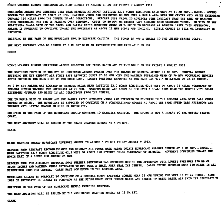
During the day on August9, Arlene passed directly over Bermuda with winds of 85mph (135km/h).[2][3] The storm continued to intensify after passing the island, with reconnaissance recorded a minimum pressure of 969 mbar (hPa; 28.61inHg)[3] and maximum winds reached 105mph (170km/h).[2] The hurricane began to weaken hours later,[1] with winds decreasing below 100mph (160km/h) by the afternoon of August10. Shortly after, Arlene transitioned into an extratropical cyclone, while maintaining hurricane-force winds, over the north Atlantic.[2] The remnants were absorbed by a larger cyclone near Newfoundland on August11.[1]
Preparations and impact
More information Precipitation, Storm ...
Wettest tropical cyclones and their remnants in Bermuda Highest-known totals
On August3, the National Weather Service in San Juan, Puerto Rico issued hurricane warnings for the northern Leeward Islands and a hurricane watch for the Virgin Islands. Later that day, the watch was expanded to include Puerto Rico.[7] By August4, the hurricane warnings were lowered to gale warnings and the watch was discontinued as Arlene weakened to a tropical storm. Later that day, all warnings were canceled since the storm had further weakened to a tropical depression.[8] On August8, after Arlene regenerated, residents in Bermuda were advised to not venture offshore on any vessel and rush all hurricane preparations to completion.[9]
In Bermuda, Arlene produced winds up to 85mph (135km/h) and a pressure of 974.5 mbar (hPa; 28.78inHg) was recorded during its passage.[3] A maximum gust of 98mph (158km/h) was recorded at Kindley Air Force Base.[10] Tree limbs and power lines were downed across the island, a few small boats sank in rough seas and flooding was reported in some areas.[11] The hurricane produced one of the highest tropical cyclone-related rainfall totals on the island, peaking at 6.05in (154mm),[6] in addition to an estimated 4ft (1.2m)storm surge.[12] In all, damage in Bermuda amounted to $300,000 (1963USD; $2.1million 2009USD).[1]
Terry Tucker (1966). Beware the Hurricane! The Story of the Cyclonic Tropical Storms That Have Struck Bermuda and the Islanders' Folk-lore Regarding Them (1ed.). The Hamilton Press. p.206.