Kuttabul,_Queensland
Kuttabul, Queensland
Town in Queensland, Australia
Kuttabul is a rural town and locality in the Mackay Region, Queensland, Australia.[2][3] In the 2016 census, the locality of Kuttabul had a population of 730 people.[1]
Download coordinates as:
| Kuttabul Queensland | |||||||||||||||
|---|---|---|---|---|---|---|---|---|---|---|---|---|---|---|---|
| Coordinates | 21.0375°S 148.9088°E / -21.0375; 148.9088 (Kuttabul (town centre)) | ||||||||||||||
| Population | 730 (2016 census)[1] | ||||||||||||||
| • Density | 5.70/km2 (14.77/sq mi) | ||||||||||||||
| Postcode(s) | 4741 | ||||||||||||||
| Area | 128.0 km2 (49.4 sq mi) | ||||||||||||||
| Time zone | AEST (UTC+10:00) | ||||||||||||||
| LGA(s) | Mackay Region | ||||||||||||||
| State electorate(s) | Whitsunday | ||||||||||||||
| Federal division(s) | Dawson | ||||||||||||||
| |||||||||||||||
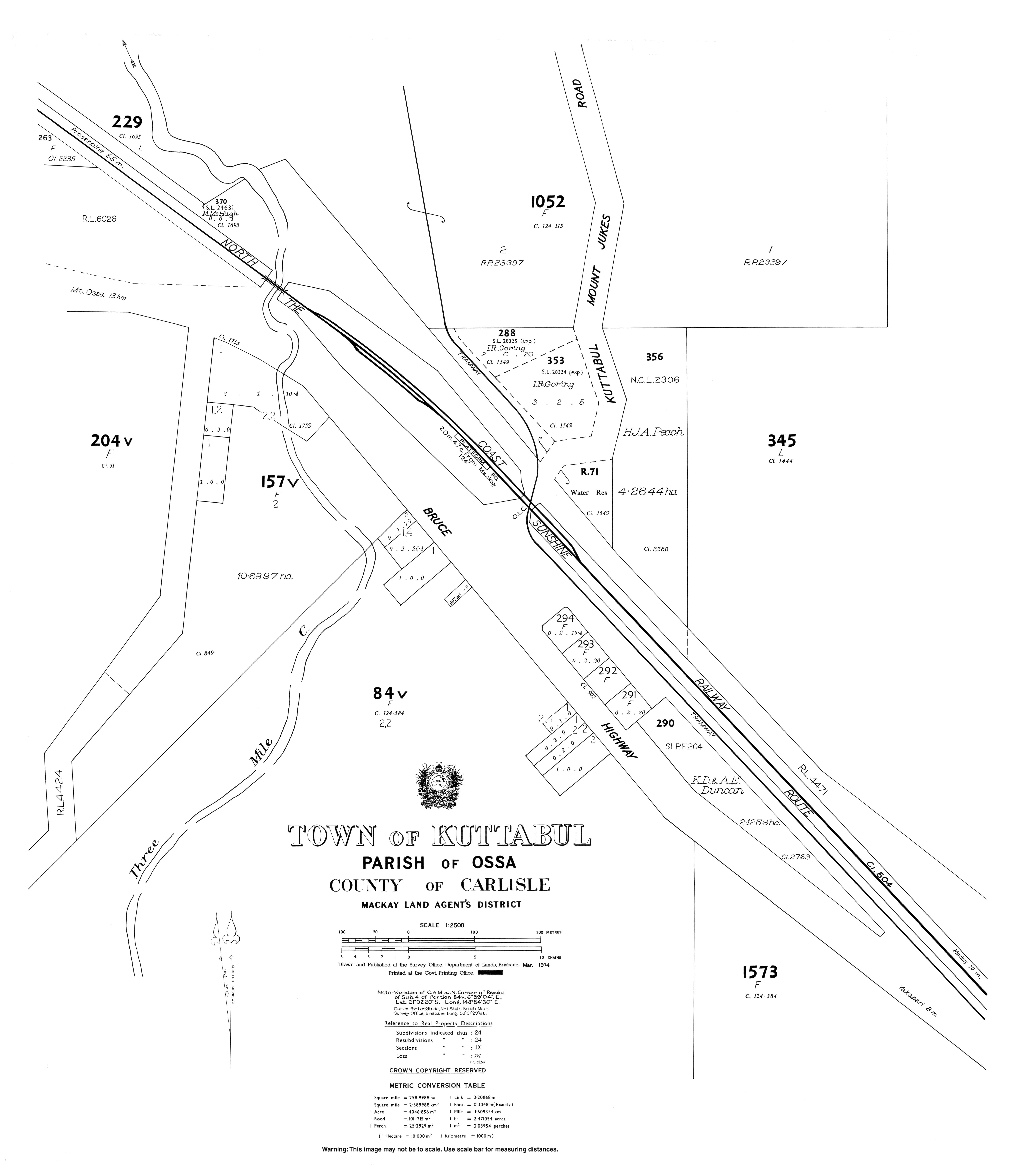
The town is located in the centre of the locality. The Bruce Highway crosses through the locality from the south-east to north-west, passing through the town. The North Coast railway line also crosses through the locality from the south-east to north-west running roughly parallel and to the east of the highway passing through the town. The town is served by the Kattabul railway station. The highway and railway pass through a low valley corridor (approx 40 metres above sea level) mostly used for growing sugarcane. To the west of the locality there are a number of mountains including Mount Martin (510 metres) within the Mount Martin National Park, while to the east of the locality there is The Pinnacle (570 metres) within the Pioneer Peaks National Park.[4]
There are a number of neighbourhoods in the locality:
- Beallah (21.05°S 148.9166°E / -21.05; 148.9166 (Beallah (neighbourhood)))[5]
- Buthurra (20.9833°S 148.8666°E / -20.9833; 148.8666 (Buthurra (neighbourhood)))[6]
- Geeberga (21.0333°S 148.9°E / -21.0333; 148.9 (Geeberga (neighbourhood)))[7]
- Narpi (21.0000°S 148.8666°E / -21.0000; 148.8666 (Narpi (neighbourhood)))[8]
The town takes its name from the Kuttabul railway station, which was assigned by the Queensland Railways Department on 5 March 1927. The name is an Aboriginal word meaning "wonderful".[2]
Narpi State School opened on 23 August 1926. On 31 December 2005 the school was mothballed, being finally closed on 31 December 2006.[9][10] It was at 69 Narpi Road (20.9998°S 148.8753°E / -20.9998; 148.8753 (Narpi State School (former))).[11][12][13][4]
In the 2016 census, the locality of Kuttabul had a population of 730 people.[1]
- Australian Bureau of Statistics (27 June 2017). "Kuttabul (SSC)". 2016 Census QuickStats. Retrieved 20 October 2018.

- "Kuttabul – town in Mackay Region (entry 18663)". Queensland Place Names. Queensland Government. Retrieved 27 December 2020.
- "Kuttabul – locality in Mackay Region (entry 46800)". Queensland Place Names. Queensland Government. Retrieved 27 December 2020.
- "Queensland Globe". State of Queensland. Retrieved 22 April 2022.
- "Beallah – locality unbounded in Mackay Regional (entry 1949)". Queensland Place Names. Queensland Government. Retrieved 7 March 2022.
- "Buthurra – locality unbounded in Mackay Regional (entry 5522)". Queensland Place Names. Queensland Government. Retrieved 7 March 2022.
- "Geeberga – locality unbounded in Mackay Regional (entry 13542)". Queensland Place Names. Queensland Government. Retrieved 7 March 2022.
- "Narpi – locality unbounded in Mackay Regional (entry 23882)". Queensland Place Names. Queensland Government. Retrieved 7 March 2022.
- Queensland Family History Society (2010), Queensland schools past and present (Version 1.01 ed.), Queensland Family History Society, ISBN 978-1-921171-26-0
- "Queensland state school - centre closures" (PDF). Queensland Government. 20 August 2013. Archived (PDF) from the original on 20 March 2022. Retrieved 6 April 2022.
- "Parish of Ossa Sheet 2" (Map). Queensland Government. 1980. Retrieved 22 April 2022.
- "Mirani" (Map). Queensland Government. 1942. Retrieved 22 April 2022.
- Google (22 April 2022). "Narpi State School (former)" (Map). Google Maps. Google. Retrieved 22 April 2022.
- "Kuttabul". Queensland Places. Centre for the Government of Queensland, University of Queensland.
- "Town map of Kuttabul". Queensland Government. 1974.