Route 37 was first legislated in 1927 in two sections: one running from Trenton to White Horse along the current US 206 alignment that replaced part of Pre-1927 Route 2 and the other running from Lakehurst to Point Pleasant that replaced part of Pre-1927 Route 18 between Lakehurst and Toms River. In 1953, Route 37 was legislated along its current alignment, with the designation dropped on the Trenton–White Horse segment to avoid the concurrency with US 206 and the Seaside Heights–Point Pleasant section becoming a realignment of Route 35. Route 37 was then proposed in the 1960s as a freeway running from White Horse to Seaside Heights. This freeway proposal was eventually altered to create Interstate 195 (I-195), running from Trenton to Wall Township.
Route description
Route 37 at its western terminus at Route 70 at the Lakehurst Circle
Route 37 begins at the Lakehurst Circle traffic circle with Route 70 in Lakehurst, heading east first briefly as an undivided two-lane road, then becoming a four–lane divided highway. Soon after beginning, the route crosses into Manchester Township.[1] It intersects Commonwealth Boulevard, which provides access to the Leisure Village West-Pine Lake Park community, before crossing into Toms River Township.[1][2] Route 37 continues east with many intersections that feature jughandles and at the intersection with Industrial Way, the road widens to six lanes.[1] Route 37 passes to the north of Holiday City - Silver Ridge Park, an age-restricted community which contributes to the large population of senior residents in the area.[1][2] The route crosses Conrail Shared Assets Operations' Toms River Industrial Track line before it meets CR 642 (Mule Road) and CR 527 (Oak Ridge Parkway/Lakehurst Road). After the intersection with CR 527, the route passes north of Community Medical Center and crosses over the North Branch of the Toms River.[1]
Route 37 eastbound past CR 70 in Toms River
Route 37 features a cloverleaf interchange with the Garden State Parkway/US 9. Past the Garden State Parkway, the route crosses the former alignment of US 9, Route 166.[1] Past this intersection, Route 37 becomes a road lined with several businesses.[2] The route intersects CR 549 (Hooper Avenue) and CR 38 (Clifton Avenue). CR 627 (Vaughn Avenue/West End Avenue) intersects next and Route 37 runs along the border between Toms River to the north and Island Heights to the south.[1] Route 37 meets the southern terminus of CR 627 (Central Avenue) and fully enters Toms River Township again at the Gilford Avenue intersection. Further east, the route intersects CR 549 Spur/CR 571 (Fischer Boulevard).[1]
Route 37 crosses the Barnegat Bay on the Thomas A. Mathis and J. Stanley Tunney Bridges with the eastbound bridge featuring a drawbridge that allows ships to pass through while the westbound bridge is a higher-level span.[1][2] The route continues onto Pelican Island in the Barnegat Bay, crossing into a small piece of Berkeley Township. Route 37 crosses over a part of the Barnegat Bay and heads onto the Barnegat Peninsula, where the route comes to its eastern terminus at an interchange with Route 35 on the border of Berkeley Township and Seaside Heights. At this interchange, access to Seaside Heights is provided by a ramp from northbound Route 35 a short distance past the ramp from eastbound Route 37, connecting to Sumner Avenue, while access from Seaside Heights to westbound Route 37 is provided by a direct ramp from Hamilton Avenue.[1]
Due to the area's vacationers, many of which come from New York and Northern New Jersey, Route 37 is routinely congested with seasonal traffic in the summer, especially on and around the Mathis and Tunney Bridges and at the Garden State Parkway interchange as heavy tourist traffic converges on the shore.[3] Additionally, the road sees congestion due to the area's rapid growth in commercial development.[4]
History
View west along Route 37 at the Garden State Parkway and US 9 in Toms River Township
Bridge stamp for former alignment of Route 37 along CR 539 in Monmouth County
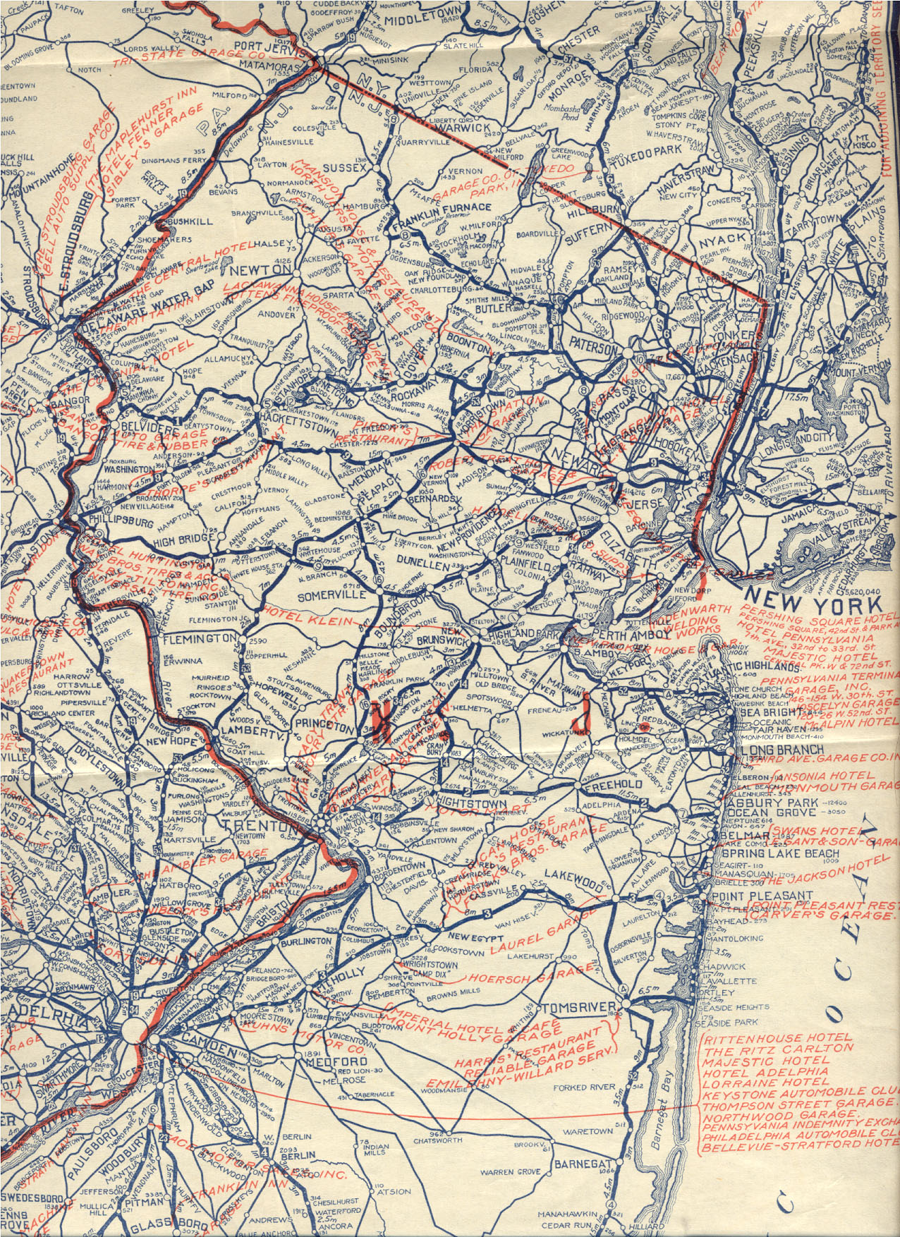
Following the 1927 renumbering, Route 37 existed in multiple separate sections: one running from the Trenton–Hamilton Township line to the White Horse Circle (concurrent with US206), the crossing of Gropp Lake in Hamilton Township (currently a state-maintained section of CR524), a 1⁄2-mile (0.80km) segment between Hamilton Township and Upper Freehold Township west of Allentown (also current CR524), a section of current CR539 between Burlington Path Road in Upper Freehold and Hornerstown Road in Plumsted Township, and one running from Route 40 (now Route 70) in Lakehurst to Point Pleasant.[10][11][12] The remainder of the route between White Horse and Lakehurst remained incomplete.[13] In the 1953 New Jersey state highway renumbering, Route 37 was legislated to run along its current alignment from Route 70 in Lakehurst to Route 35 in Seaside Heights. The number was dropped between Trenton and White Horse in favor of US206, while the section between Seaside Heights and Point Pleasant became a realignment of Route 35.[14]
View westbound along Route 37 from the Garden State Parkway and US 9 in Toms River
Route 37 was proposed in the late 1960s as a freeway that was to run from Route 29 in the Trenton area to Seaside Heights. It was suggested that this freeway be completed by 1975 in order to handle a rapid growth of population in Central New Jersey.[15] In 1967, this proposal was altered to build a road that compromised with the proposed Route 38 freeway between Camden and Wall Township. It soon received federal funding and was built as I-195, running from Trenton to Wall Township.[16][17]
Rand McNally and Co. "Eastern Ohio, Western Pennsylvania, South East Michigan, Southern Ontario, Western New York: District No. 4". Rand McNally Official Auto Trails Map, 3rd ed., 1924, pp. 168-169. David Rumsey Historical Map Collection, David Rumsey (curator), Cartography Associates, Accessed Nov 4, 2019, www.davidrumsey.com/luna/servlet/detail/RUMSEY~8~1~201570~3000600:Auto-Trails-Map--Pennsylvania,-New-.
This article uses material from the Wikipedia article New_Jersey_Route_37, and is written by contributors.
Text is available under a CC BY-SA 4.0 International License; additional terms may apply. Images, videos and audio are available under their respective licenses.
_in_Toms_River_Township,_Ocean_County,_New_Jersey.jpg)