Normandie,_New_Jersey

Normandie, New Jersey

Normandie, New Jersey

Populated place in Monmouth County, New Jersey, US


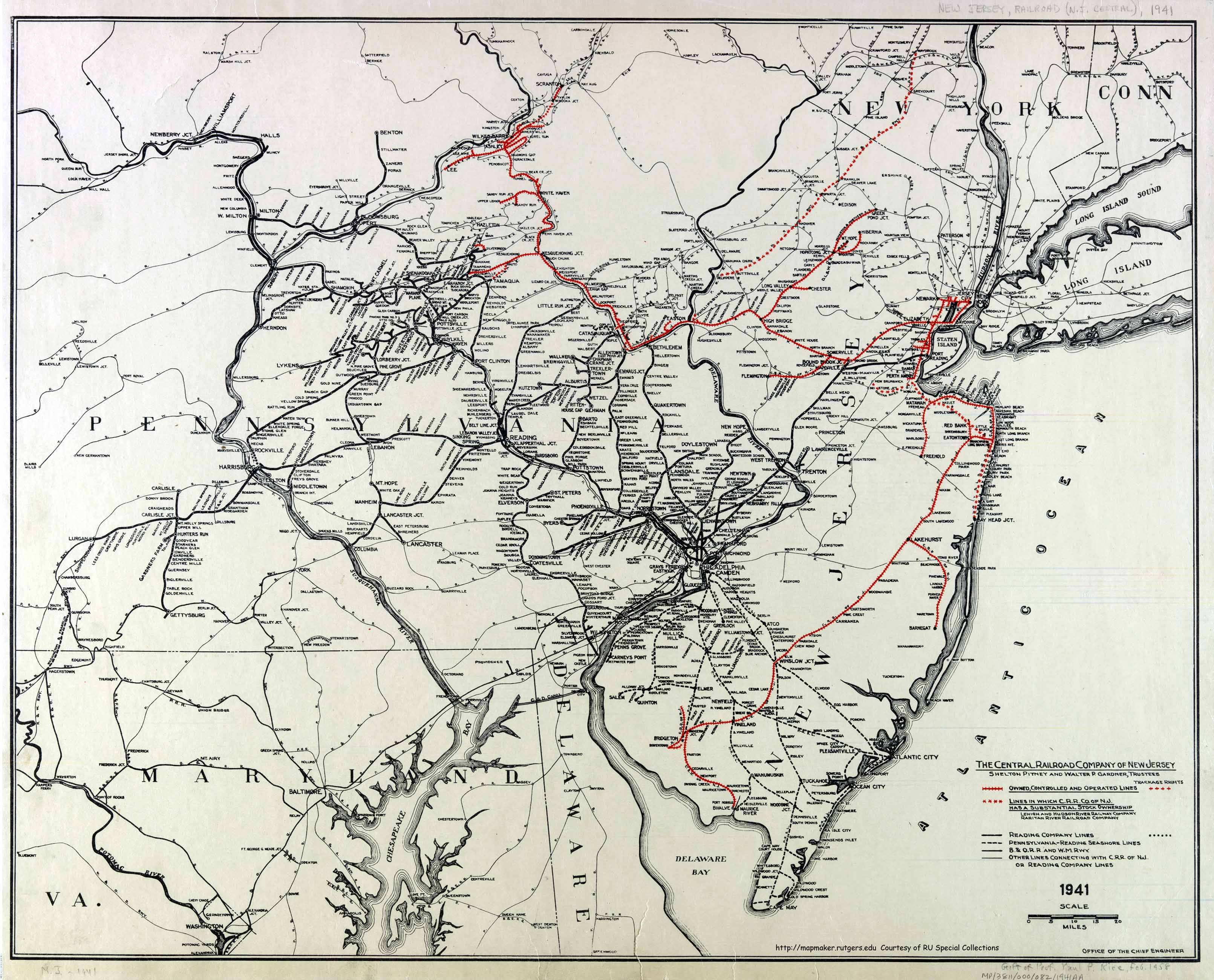
Normandie is an unincorporated community located within Sea Bright in Monmouth County, in the U.S. state of New Jersey.[2][3] The community is one of the four main built-up areas of Sea Bright and is a former stop on the New Jersey Southern Railroad.[4] It is located along Route 36 between the CR 520 drawbridge to Rumson and Sandy Hook on a narrow strip of land between the Shrewsbury River and the Atlantic Ocean.[3] The Sea Bright–Monmouth Beach Seawall passes through the neighborhood and Navesink Beach.

Quick Facts Country, State ...

References

  1. "Normandie". Geographic Names Information System. United States Geological Survey, United States Department of the Interior.
  2. "NJDOT Graphic Information System Maps Salem" (PDF). New Jersey Department of Transportation. Retrieved March 29, 2020.
  3. Google (February 27, 2015). "Normandie, Sea Bright, New Jersey" (Map). Google Maps. Google. Retrieved February 27, 2015.
  4. Office of the Chief Engineer (1941). The Central Railroad Company of New Jersey (Map). Central Railroad of New Jersey. Retrieved October 4, 2015.


Share this article:

This article uses material from the Wikipedia article Normandie,_New_Jersey, and is written by contributors. Text is available under a CC BY-SA 4.0 International License; additional terms may apply. Images, videos and audio are available under their respective licenses.