(Credit: Getty Images )
Satellites map global coral reef biodiversity
"This discovery offers the opportunity of assessing reef biodiversity, at global scale, from orbit."
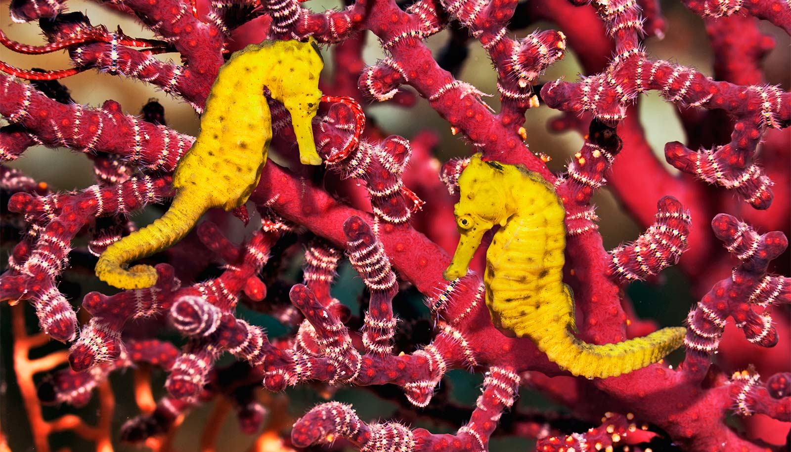
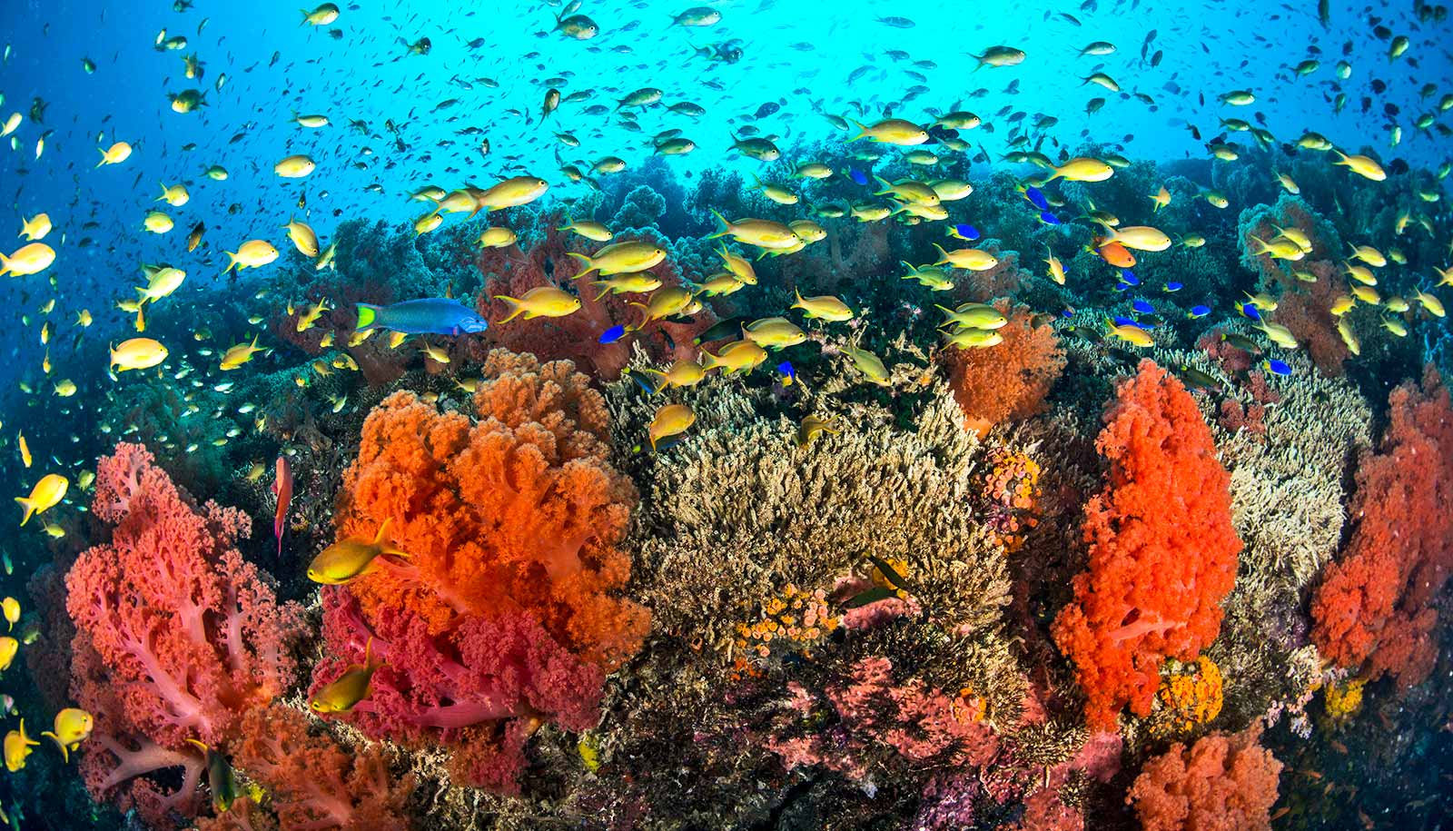
Researchers used Earth-orbiting satellites to map coral reef biodiversity at a global scale to show that areas of high habitat diversity also have high species diversity.
This new satellite mapping technique can help guide future efforts to identify and protect highly biodiverse reefs, according the researchers who conducted the study.
“As remote sensing technology becomes more advanced, and we continue to use satellite imagery to map ecological habitats, we must understand the biological and ecological meaning of these products,” says Sam Purkis, professor and chair of the marine geosciences department at the University of Miami Rosenstiel School of Marine, Atmospheric, and Earth Science and the senior author of the study.
“We showed that these maps can be used as a proxy for biodiversity , and therefore they can be used to guide ecosystem protection and restoration .”
The conventional approach of conducting SCUBA-diver surveys to measure the biodiversity of coral reefs is both time consuming and expensive. Therefore, the research team set out to find a new method utilizing remote sensing to produce habitat maps at a global scale.
To conduct the study, they extracted the diver-measured diversity of reef fish and of coral species in the global dataset of SCUBA diver surveys from the Khaled bin Sultan Living Oceans Foundation (KSLOF) Global Reef Expedition across the Pacific, Atlantic, and Indian Oceans. KSLOF maps cover approximately one quarter of Earth’s shallow-water tropical coral reefs. Purkis serves as the chief scientist for the foundation.
The scientists then used these maps to audit the complexity of the patterning of seabed habitats, which they showed to be correlated with the species diversity of the organisms that inhabited them. This relationship held across the Atlantic, Pacific, and Indian Oceans, and, the scientists recommend can therefore be used as a proxy for reef biodiversity.
“We show how the biodiversity of these ecosystems can instead be retrieved from satellite maps of the seabed,” says Anna Bakker, a PhD student in the Rosenstiel School’s marine geosciences department and lead author of the study. “This discovery offers the opportunity of assessing reef biodiversity, at global scale, from orbit.”
The results from this study can aid in marine spatial planning and the designation of marine protected areas to protect reefs with high biodiversity, according to the researchers.
The study appears in the journal Remote Sensing of Environment . Additional study authors are from the University of Miami, the Khaled bin Sultan Living Oceans Foundation, and the Coral Reef Alliance.
Support for the research came from the National Science Foundation Graduate Research Fellowship Program, Lyda Hill Philanthropies, and a NASA ROSES Biodiversity Award.
Source: University of Miami
The post Satellites map global coral reef biodiversity appeared first on Futurity .
Share this article:
This article uses material from the Futurity article, and is licenced under a CC BY-SA 4.0 International License. Images, videos and audio are available under their respective licenses.
Related Articles:
Lots and lots of time is key to coral reef diversity
Nov. 12, 2018 • futurity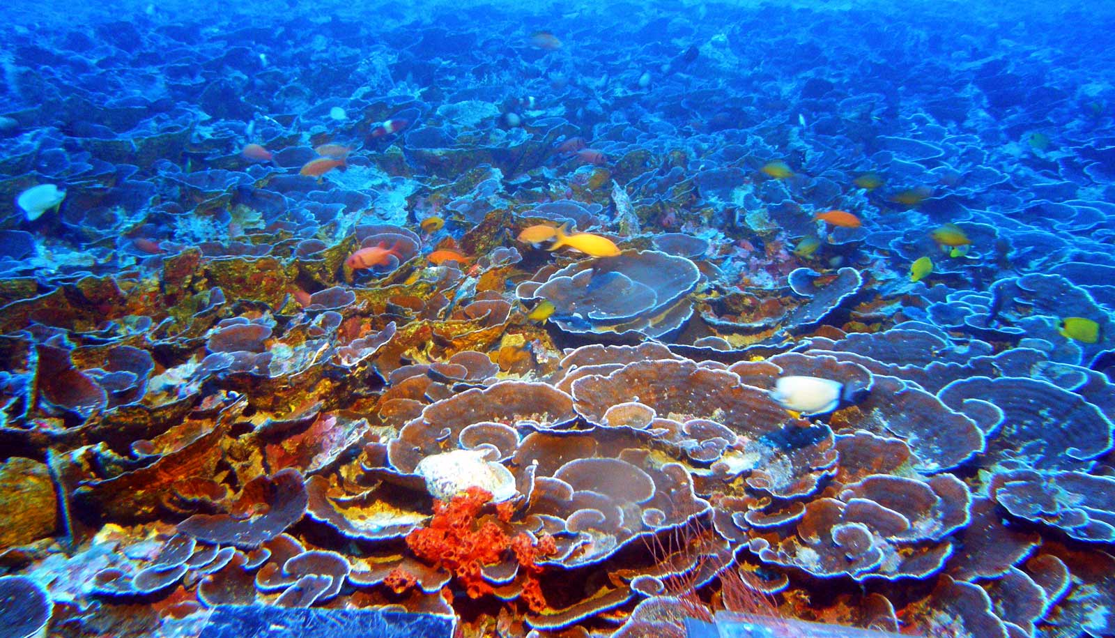
These corals live so deep there’s barely any light
June 25, 2019 • futurityLinks/images:
- https://www.futurity.org/coral-reef-biodiversity-1909332/
- https://www.futurity.org/plastic-coral-disease-1665672/
- https://www.futurity.org/parrotfish-coral-reefs-oceans-2254302-2/
- https://www.futurity.org/edna-coral-reefs-fish-2729542/
- https://doi.org/10.1016/j.rse.2024.113990
- https://news.miami.edu/rosenstiel/stories/2024/02/researchers-use-satellites-to-analyze-global-reef-biodiversity.html
- https://www.futurity.org/satellites-global-coral-reef-biodiversity-3182082/
- https://www.futurity.org