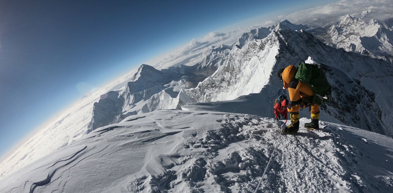
How satellites are helping us to understand deadly avalanches
Remote sensing satellites provide the crucial data that helps scientists model disasters so that they can work on predicting avalanche patterns in future.
March 3, 2022 • ~8 min
Remote sensing satellites provide the crucial data that helps scientists model disasters so that they can work on predicting avalanche patterns in future.
A sea level scientist explains the two main ways climate change is threatening the coasts.
Glaciers in North America, Europe and the Andes, in particular, have significantly less ice than people realized.
A massive Antarctic ice shelf is showing signs of cracking and could trigger worldwide flooding.
Sea ice is thinning at an alarming rate. Snow is shifting to rain. And humans worldwide are increasingly feeling the impact of what happens in the seemingly distant Arctic.
/
10