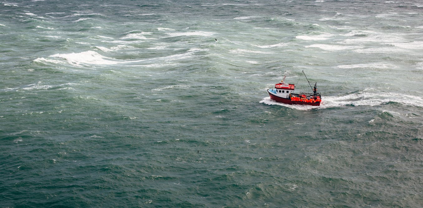
We used AI and satellite imagery to map ocean activities that take place out of sight, including fishing, shipping and energy development

A new study reveals that 75% of the world’s industrial fishing vessels are hidden from public view.

Jennifer Raynor, Assistant Professor of Natural Resource Economics, University of Wisconsin-Madison • conversation
Jan. 3, 2024 ~10 min

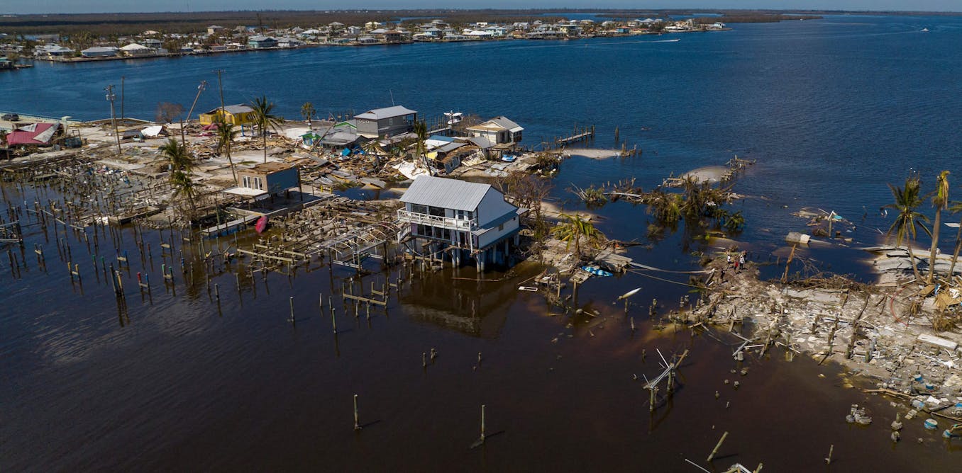
New satellite mapping with AI can quickly pinpoint hurricane damage across an entire state to spot where people may be trapped

Artificial intelligence can spot differences in images from before and after a storm over wide areas in almost real time. It showed Hurricane Ian’s vast damage in Florida.

Su Ye, Postdoctoral researcher in environment and remote sensing, University of Connecticut • conversation
Oct. 7, 2022 ~5 min


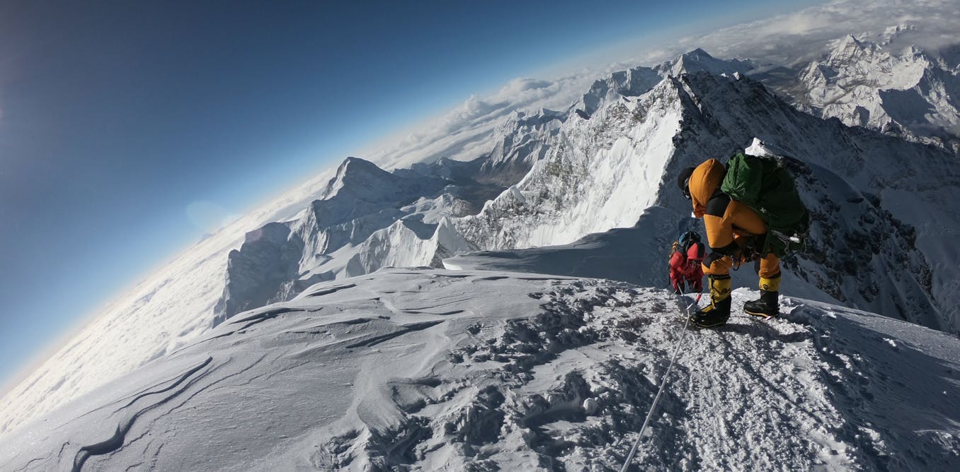
Mountain glaciers may hold less ice than previously thought – here’s what that means for 2 billion downstream water users and sea level rise

Glaciers in North America, Europe and the Andes, in particular, have significantly less ice than people realized.

Mathieu Morlighem, Professor of Earth Sciences, Dartmouth College • conversation
Feb. 7, 2022 ~8 min

Mountain glaciers hold less ice than previously thought – it's a concern for future water supplies but a drop in the bucket for sea level rise

Glaciers in North America, Europe and the Andes, in particular, have significantly less ice than people realized.

Mathieu Morlighem, Professor of Earth Sciences, Dartmouth College • conversation
Feb. 7, 2022 ~8 min

3 medical innovations fueled by COVID-19 that will outlast the pandemic

The coronavirus pandemic has driven a lot of scientific progress in the past year. But just as some of the social changes are likely here to stay, so are some medical innovations.

Nevan Krogan, Professor and Director of Quantitative Biosciences Institute & Senior Investigator at the Gladstone Institutes, University of California, San Francisco • conversation
March 9, 2021 ~12 min

The way we use data is a life or death matter – from the refugee crisis to COVID-19

An algorithm driven world is dehumanising – but by understanding this we can call for a more equitable and human use of data.

Monika Halkort, Assistant Professor of Digital Media and Social Communication, Lebanese American University • conversation
Nov. 12, 2020 ~22 min

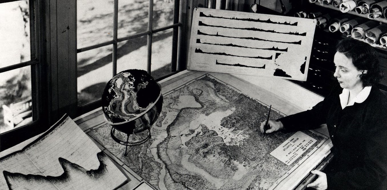
Marie Tharp pioneered mapping the bottom of the ocean 6 decades ago – scientists are still learning about Earth's last frontier

Born on July 30, 1920, geologist and cartographer Tharp changed scientific thinking about what lay at the bottom of the ocean – not a featureless flat, but rugged and varied terrain.

Suzanne OConnell, Professor of Earth & Environmental Sciences, Wesleyan University • conversation
July 28, 2020 ~10 min

Balloon releases have deadly consequences – we're helping citizen scientists map them

Releasing balloons at weddings and other celebrations is festive, until they break into pieces and become plastic pollution. A citizen science project is spotlighting the problem.

Shannon Brines, Applied Geographer, Lecturer and Manager, Environmental Spatial Analysis Laboratory, University of Michigan • conversation
March 18, 2020 ~8 min


/

1