170897960_Ochlerus_circummaculatus.jpg

Size of this preview:
800 × 533 pixels
.
Other resolutions:
320 × 213 pixels
|
640 × 427 pixels
|
1,024 × 683 pixels
|
1,280 × 853 pixels
|
2,048 × 1,365 pixels
.
Summary
| Description |
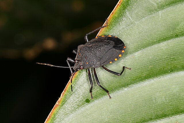
Français :
Ochlerus circummaculatus
(Brazil)
|
| Date | |
| Source | https://www.inaturalist.org/photos/170897960 |
| Author | Carlos Alexandre Mattos Raposo |
| Camera location |
|
View this and other nearby images on: OpenStreetMap |
|
|---|
|
|
This media file is part of an observation on
iNaturalist
:
inaturalist.org/observations/102258856 This tag does not indicate the copyright status of the attached work. A normal copyright tag is still required. See Commons:Licensing . |

|
This media file is part of an observation on
GBIF
:
gbif.org/occurrence/3456734691 This tag does not indicate the copyright status of the attached work. A normal copyright tag is still required. See Commons:Licensing . |
Licensing
This file is licensed under the
Creative Commons
Attribution 4.0 International
license.
-
You are free:
- to share – to copy, distribute and transmit the work
- to remix – to adapt the work
-
Under the following conditions:
- attribution – You must give appropriate credit, provide a link to the license, and indicate if changes were made. You may do so in any reasonable manner, but not in any way that suggests the licensor endorses you or your use.
|
|
This image was originally posted to iNaturalist by carlosalexandreraposo at https://www.inaturalist.org/photos/170897960 . It was reviewed on 29 September 2023 by INaturalistReviewBot and found to be published under the terms of the Cc-by-4.0 license. |