1822_map_of_Charleston_Harbor,_South_Carolina.jpeg

Size of this preview:
338 × 599 pixels
.
Other resolutions:
135 × 240 pixels
|
271 × 480 pixels
|
433 × 768 pixels
|
1,169 × 2,070 pixels
.
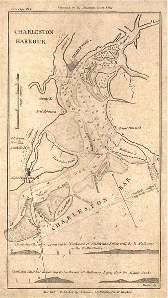
| Description | "Charleston Harbour" | ||||
| Date | |||||
| Source | Historical Maps of Alabama collection , University of Alabama Department of Geography | ||||
| Author | Edmund M. Blunt | ||||
|
Permission
( Reusing this file ) |
|
||||