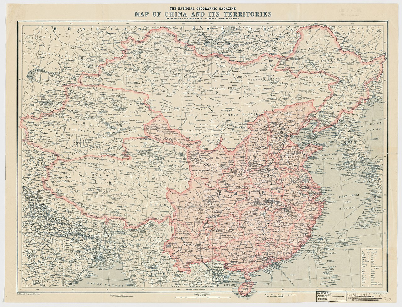
1912_China_map_from_National_Geographic.jpg

Size of this preview:
786 × 600 pixels
.
Other resolutions:
315 × 240 pixels
|
629 × 480 pixels
|
1,007 × 768 pixels
|
1,280 × 977 pixels
|
2,560 × 1,953 pixels
|
6,980 × 5,326 pixels
.
Summary
| Description |
English:
The National Geographic Magazine map of China and its territories
中文(中国大陆):
中国地图,出自1912年10月美国《國家地理雜誌》
|
||||||||||||||||||||
| Date | |||||||||||||||||||||
| Source |
Harvard University Library
1912年10月國家地理雜誌 |
||||||||||||||||||||
| Creator |
Edinburgh Geographical Institute |
||||||||||||||||||||
|
Permission
( Reusing this file ) |
|
||||||||||||||||||||
| Georeferencing | If inappropriate please set warp_status = skip to hide. | ||||||||||||||||||||
| Other versions | Digital Commonwealth | ||||||||||||||||||||

.jpg)
| Annotations | This image is annotated: View the annotations at Commons |