2010-NL-P10-Noord-Brabant-positiekaart-gemnamen.jpg

Size of this preview:
800 × 439 pixels
.
Other resolutions:
320 × 175 pixels
|
640 × 351 pixels
|
1,024 × 561 pixels
|
1,494 × 819 pixels
.
Summary
| Description |
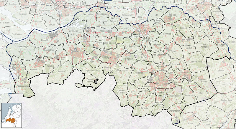
Nederlands:
Referentiekaart van Provincie Noord-Brabant, met indeling van gemeenten (2010) en impressie van het landschap.
Door Jan-Willem van Aalst, samengesteld uit publiek beschikbare geo-data:
|
| Date | |
| Source | Own work |
| Author | Janwillemvanaalst |
Licensing
I, the copyright holder of this work, hereby publish it under the following license:
This file is licensed under the
Creative Commons
Attribution-Share Alike 3.0 Unported
license.
-
You are free:
- to share – to copy, distribute and transmit the work
- to remix – to adapt the work
-
Under the following conditions:
- attribution – You must give appropriate credit, provide a link to the license, and indicate if changes were made. You may do so in any reasonable manner, but not in any way that suggests the licensor endorses you or your use.
- share alike – If you remix, transform, or build upon the material, you must distribute your contributions under the same or compatible license as the original.
| Annotations | This image is annotated: View the annotations at Commons |