2021-04-17_FH-Kärnten_Villach1.jpg

Size of this preview:
800 × 529 pixels
.
Other resolutions:
320 × 212 pixels
|
640 × 423 pixels
|
1,024 × 678 pixels
|
1,280 × 847 pixels
|
2,560 × 1,694 pixels
|
5,187 × 3,432 pixels
.
Summary
| Description |
Deutsch:
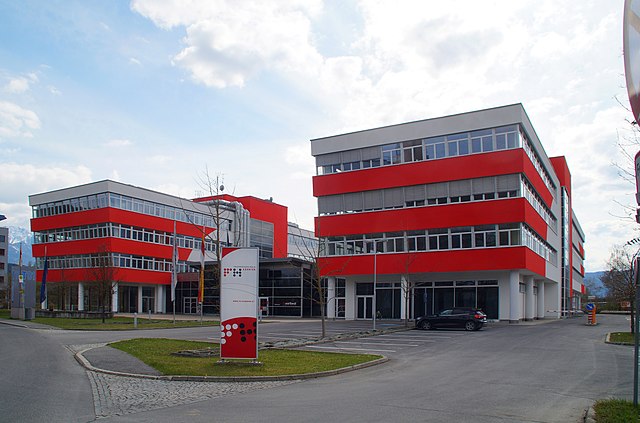
Fachhochschule Kärnten, Standort Villach. Das FH-Gebäude nach der Sanierung 2019/20. Kärnten, Österreich
|
| Date | |
| Source | Own work |
| Author | TheRunnerUp |
| Camera location |
|
View this and other nearby images on: OpenStreetMap |
|
|---|
|
|
Deutsch:
Dieses Foto wurde von
Robert Kropf (
User:TheRunnerUp
)
erstellt und unter der Lizenz
CC BY-SA 4.0
veröffentlicht. Das Bild kann frei verwendet werden, wenn die Lizenzbestimmungen eingehalten werden. Das Betrifft insbesondere die Nennung des Namens und der Lizenz in der Form:
© Robert Kropf (CC BY-SA 4.0)
. Genaueres finden Sie in der
Beschreibung der Lizenz
English:
This photo was taken by
Robert Kropf (
User:TheRunnerUp
)
and released under the license
CC BY-SA 4.0
. You are free to use it for any purpose as long as you credit me as the author in the following format:
© Robert Kropf (CC BY-SA 4.0)
and follow the terms of the license,
which you can find here
.
|
|
|
|
This file has been released under a license which is incompatible with Facebook's licensing terms. It is not permitted to upload this file to Facebook. |
Licensing
I, the copyright holder of this work, hereby publish it under the following license:
This file is licensed under the
Creative Commons
Attribution-Share Alike 4.0 International
license.
-
You are free:
- to share – to copy, distribute and transmit the work
- to remix – to adapt the work
-
Under the following conditions:
- attribution – You must give appropriate credit, provide a link to the license, and indicate if changes were made. You may do so in any reasonable manner, but not in any way that suggests the licensor endorses you or your use.
- share alike – If you remix, transform, or build upon the material, you must distribute your contributions under the same or compatible license as the original.