600x600_GMT_France_topo-R1.jpg
No higher resolution available.
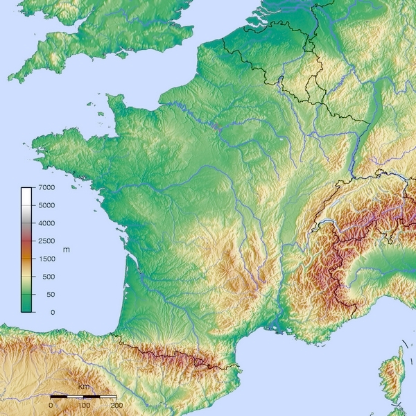
- Carte France GMT topographique R1
- Source:travail personnel
- licence:
|
|
The map has been created with the
Generic Mapping Tools
:
https://www.generic-mapping-tools.org/
using one or more of these
public-domain
datasets for the relief:
|

|
Permission is granted to copy, distribute and/or modify this document under the terms of the GNU Free Documentation License , Version 1.2 or any later version published by the Free Software Foundation ; with no Invariant Sections, no Front-Cover Texts, and no Back-Cover Texts. A copy of the license is included in the section entitled GNU Free Documentation License . |
- Auteur: Wikisoft* @@@-fr 10:22, 12 January 2013 (UTC)
-
- Projection Equirectangulaire
- top:52.30°
- bottom:41.00°
- left:-6.00°
- right:10.00°