AB-towns-highways.png
Size of this preview:
449 × 600 pixels
.
Other resolutions:
180 × 240 pixels
|
524 × 700 pixels
.

|
This
road map
image could be re-created
using
vector graphics
as an
SVG
file
. This has several advantages; see
Commons:Media for cleanup
for more information. If an SVG form of this image is available, please upload it and afterwards replace this template with
{{

vector version available

|

new image name

}}
.
It is recommended to name the SVG file “AB-towns-highways.svg”—then the template Vector version available (or Vva ) does not need the new image name parameter. |
Summary
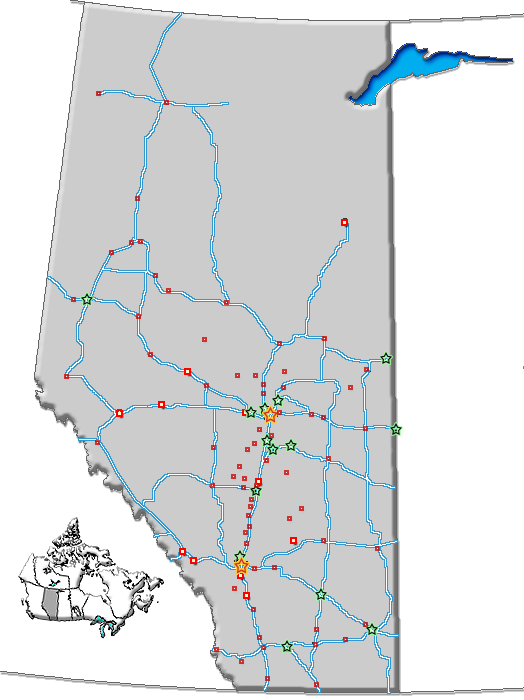
| Description | Map of Alberta with cities, towns and highways |
| Date | |
| Source | GIS data |
| Author | Qyd ( talk · contribs ) |
|
Permission
( Reusing this file ) |
All |
| Other versions | Image:AB-towns-roads.png (inculdes all roads), Image:AB towns+names.png (includes town names), Image:AB-cities-roads.png (cities and highways) |
Licensing
|
|
I, the copyright holder of this work, release this work into the
public domain
. This applies worldwide.
In some countries this may not be legally possible; if so: I grant anyone the right to use this work for any purpose , without any conditions, unless such conditions are required by law. |