AES_Alamitos_Generating_Station_039.jpg
Size of this preview:
800 × 572 pixels
.
Other resolutions:
320 × 229 pixels
|
640 × 457 pixels
|
1,024 × 732 pixels
|
1,280 × 914 pixels
|
1,488 × 1,063 pixels
.
Summary
| Description |
English:
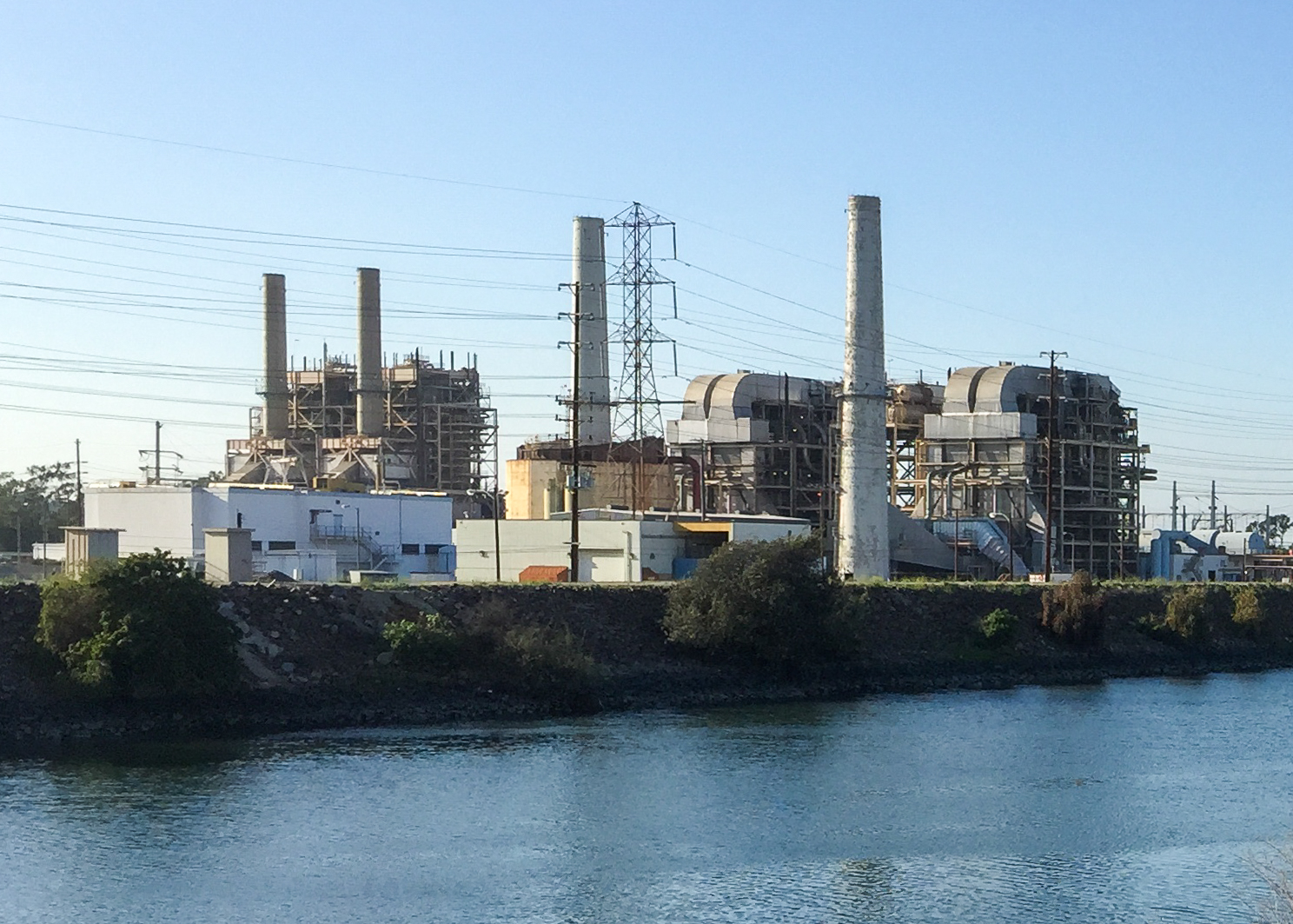
Alamitos Generating Station Units 1, 2, 3 and 4 from the San Gabriel River Bike Trail. This was taken before modernization began in 2017.
|
| Date | |
| Source | https://www.flickr.com/photos/gsec/16681815648/ |
| Author | The Greater Southwestern Exploration Company |
| Camera location |
|
View this and other nearby images on: OpenStreetMap |
|
|---|
Cropped and improved contrast/exposure/colours.
Licensing
|
|
This image, originally posted to Flickr , was reviewed on 13 February 2020 by the administrator or reviewer Leoboudv , who confirmed that it was available on Flickr under the stated license on that date. |
This file is licensed under the
Creative Commons
Attribution 2.0 Generic
license.
-
You are free:
- to share – to copy, distribute and transmit the work
- to remix – to adapt the work
-
Under the following conditions:
- attribution – You must give appropriate credit, provide a link to the license, and indicate if changes were made. You may do so in any reasonable manner, but not in any way that suggests the licensor endorses you or your use.