Abberton_and_Langenhoe_Essex.jpg
No higher resolution available.
Summary
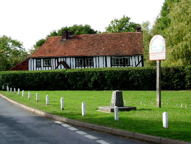
| Description | Abberton & Langenhoe Sign. This is a picture of the village sign for the twin villages of Aberton and Langenhoe. These two villages are bisected by the B1025 Mersea Rd to the east of the road is Langenhoe and to the west is Abberton. The stone under the sign is a war memorial, which is unusual in that is was not erected until the year 2000. The photo was taken looking east with the B1025 running north south behind the photographer. |
| Date | |
| Source | From geograph.org.uk |
| Author | Glyn Baker |
|
Permission
( Reusing this file ) |
Creative Commons Attribution Share-alike license 2.0 |
| Camera location |
|
View this and other nearby images on: OpenStreetMap |
|
|---|
Licensing

|
This image was taken from the
Geograph project
collection. See
this photograph's page
on the Geograph website for the photographer's contact details. The copyright on this image is owned by
Glyn Baker
and is licensed for reuse under the
Creative Commons
Attribution-ShareAlike 2.0 license.
|
This file is licensed under the
Creative Commons
Attribution-Share Alike 2.0 Generic
license.
Attribution:
Glyn Baker
-
You are free:
- to share – to copy, distribute and transmit the work
- to remix – to adapt the work
-
Under the following conditions:
- attribution – You must give appropriate credit, provide a link to the license, and indicate if changes were made. You may do so in any reasonable manner, but not in any way that suggests the licensor endorses you or your use.
- share alike – If you remix, transform, or build upon the material, you must distribute your contributions under the same or compatible license as the original.