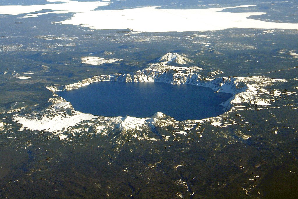
Aerial_Crater_Lake_(cropped).jpg

Size of this preview:
800 × 533 pixels
.
Other resolutions:
320 × 213 pixels
|
640 × 427 pixels
|
1,024 × 683 pixels
|
1,280 × 853 pixels
|
2,400 × 1,600 pixels
.
Summary
| Description | |
| Date | |
| Source |
This file was derived from:
Aerial Crater Lake.jpg
:
|
| Author |
Mike Doukas, USGS
|
Licensing
|
|
This image is in the
public domain
in the United States because it only contains materials that originally came from the
United States Geological Survey
, an agency of the
United States Department of the Interior
. For more information, see
the official USGS copyright policy
.
|
|
| Annotations | This image is annotated: View the annotations at Commons |
.jpg)