AitkenSpenceWindPower-Ambewela-September2012-1.jpg

Size of this preview:
800 × 450 pixels
.
Other resolutions:
320 × 180 pixels
|
640 × 360 pixels
|
1,024 × 575 pixels
|
1,280 × 719 pixels
|
3,000 × 1,686 pixels
.
Summary
| Description |
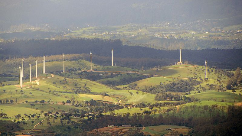
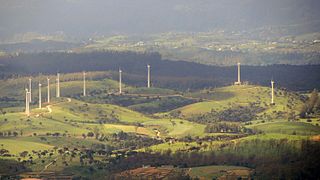
English:
Wind turbines of the 3-megawatt Aitken Spence Wind Farm in
Ambewela
.
|
| Date | |
| Source | Own work |
| Author | Rehman Abubakr |
| Camera location |
|
View this and other nearby images on: OpenStreetMap |
|
|---|
Licensing

|
This image has been assessed under the valued image criteria and is considered the most valued image on Commons within the scope: Ambewela Aitken Spence Wind Farm . You can see its nomination here . |